|
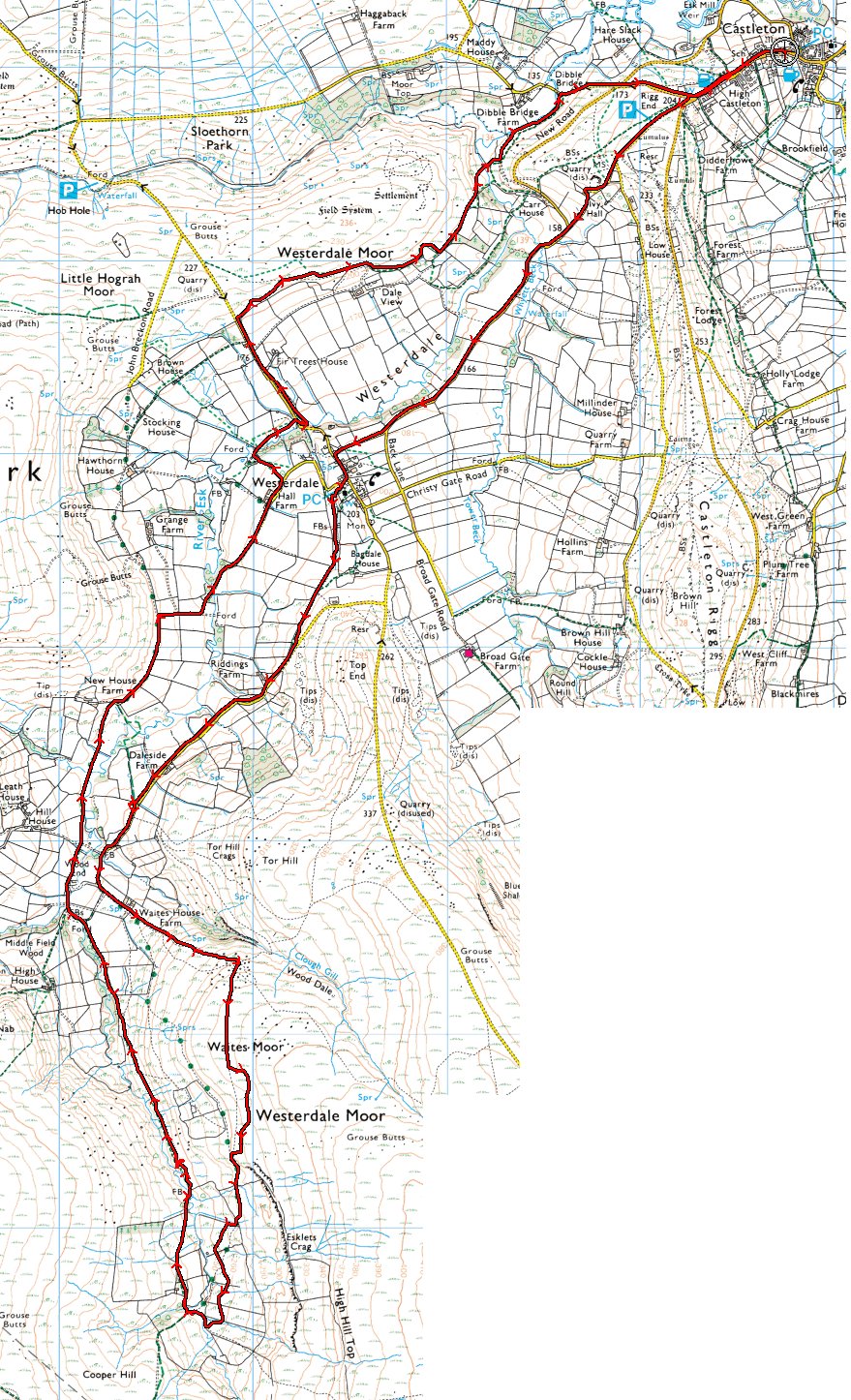
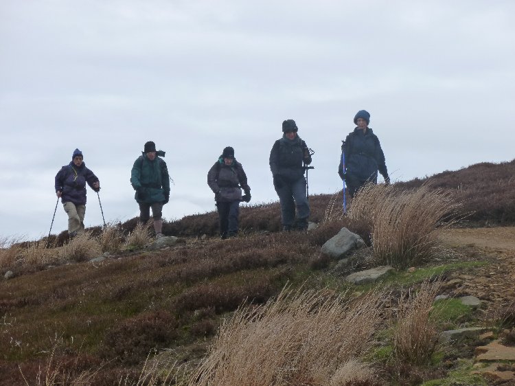
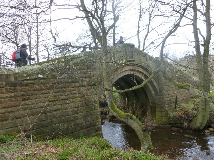
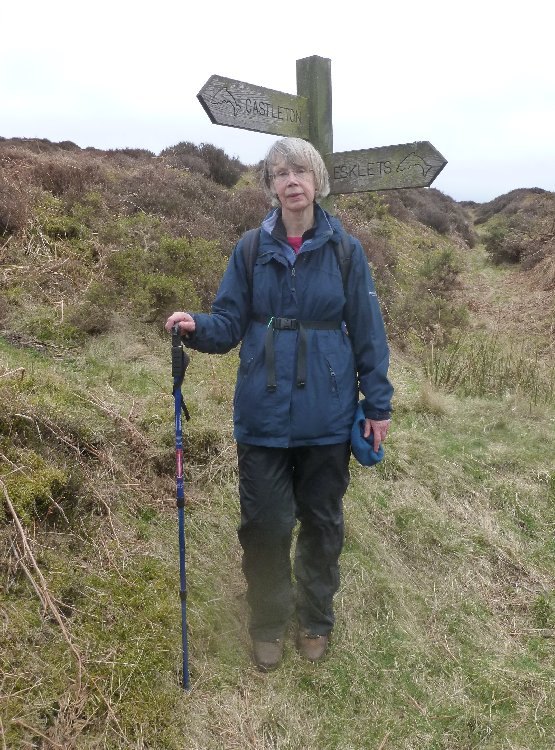
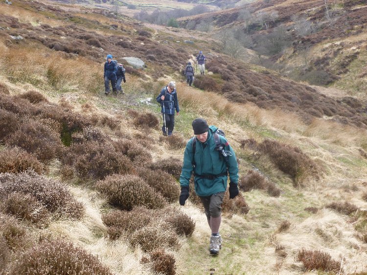
Esk Valley Walk, week 1 led by Harry and Maureen Whitehouse. |
|
|
|
Use right-click menu to view/save map at full (larger) size |
|
|
 |
|
|
|
|
|
|
|
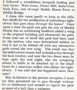
During Sunday's walk beside the headwaters of the River Esk, I told the story about the path that used to run through the kitchen of Maddy House, near Dibble Bridge, Castleton. The story appears in AJ Brown's excellent book, Striding Through Yorkshire – now long out of print. He wrote in the 1930s, about a walk from Commondale to Castleton:
: In fact, having checked an old map, it seems that the route diverged from the existing right of way just before Scala Foot (now shown as Scale Foot on the OS Explorer map. As best I can track it, the dots show the line of the old path.
It would be interesting to know when, how and why this path was lost, so I shall check with the parish council. What's in the name? During the walk, I was asked about the origin of the name "Esk", and although I had once checked this myself, I had forgotten. The answer is that in common with the Rivers Axe, Exe and Usk, it's derived from the Old English "isca", meaning "water". |
|
|
|
|