|
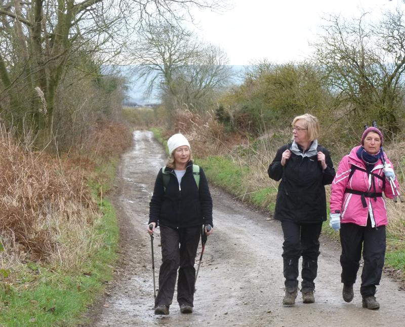
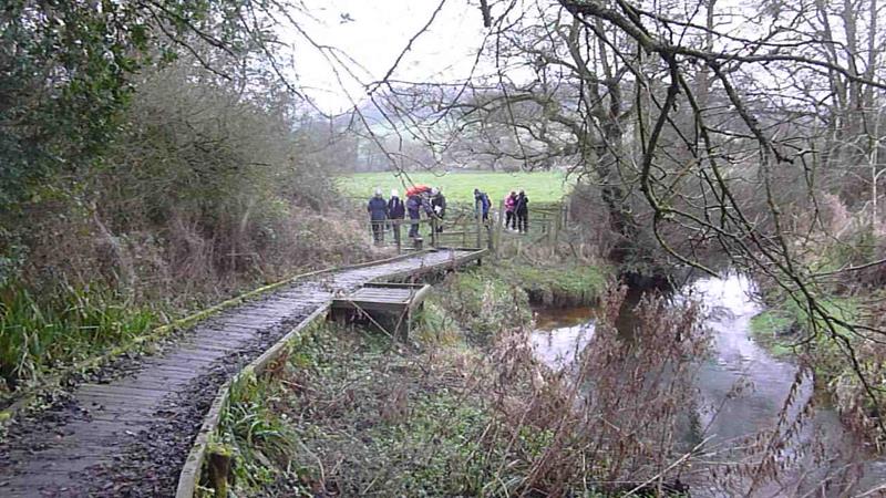
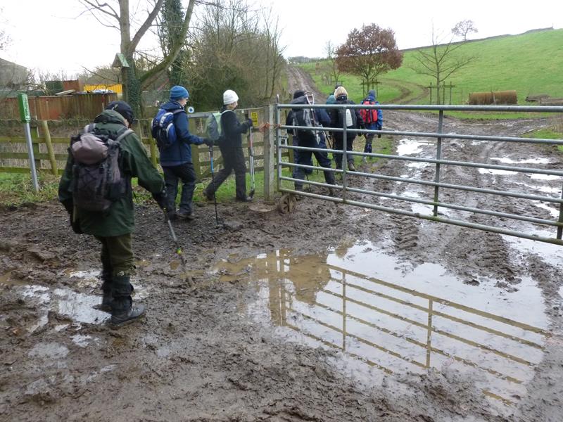
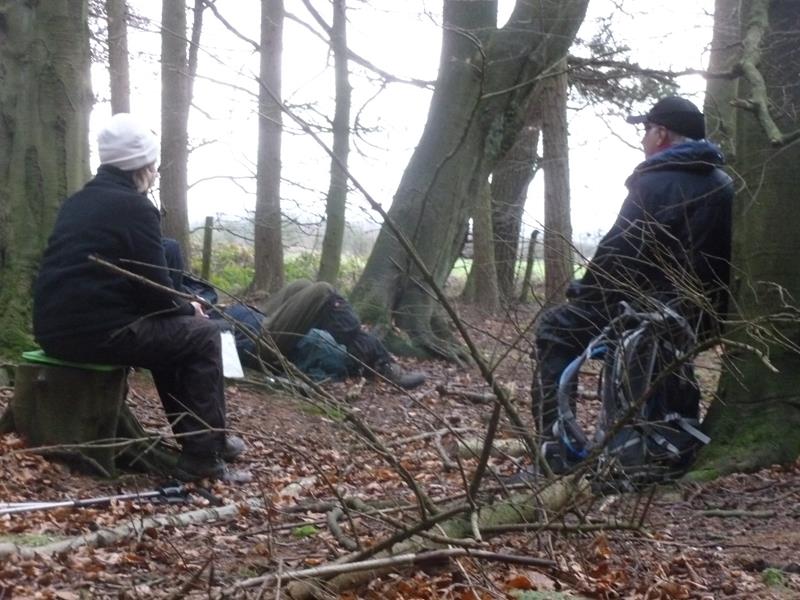
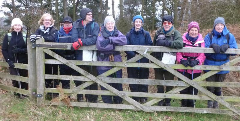
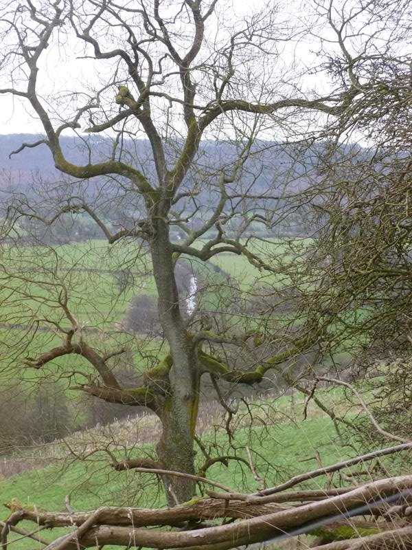
Sunday 14, Forge Valley, led by P Trafford |
|
 right-click for gpx track 8.2 miles, 851ft height gain Back marker: Bob Clutson and Harry Whitehouse. Extra pictures by Chris Bibby |
|
 |
|
 |
|
|
 A working party from the group cleared a footpath to the quarry in Cockrah Road, West Ayton. Bob Clutson (above) planted the signpost and Phil Trafford (below) was one of the team working on general clearance.
|
|
|
|
|
|
|
|
 |
|
|
|
|
|
|
|
|
|
|
|
|
|
|
|
 |
|
 |
|
|
|
|
|
|
|
| Pictures below by Chris Bibby | |
 |
|
 |
|
 |
|
 |
|
 |
|
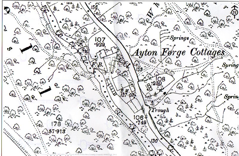 Angela Simpson has supplied the above map excerpt from 1846, showing cottages occupying the Old Man's Mouth car park. The footbridge and paths are in the same locations as today. Ray Johnson informed me that the buildings included an iron works. |
|
 PRE-WALK INFO: (If supplied) Walk leader's description of start point/general
information about route. (Please note that the grid reference is usually a walk leader's estimate. Walk leaders have been invited to supply verbal descriptions of the start point, and when provided, this should provide the most reliable guidance.)
Car park near bridge across River Derwent.
|
|