|
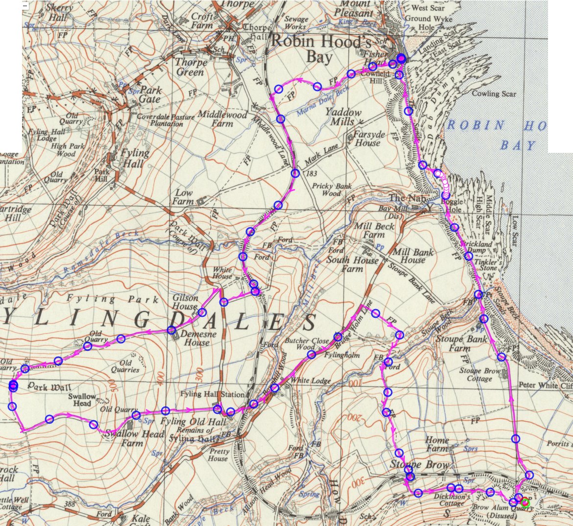
21 Stoupe Brow Quarry, led by L & M Atkinson |
|
Thanks to Allan Wrightson for map data and Chris Bibby, Gary
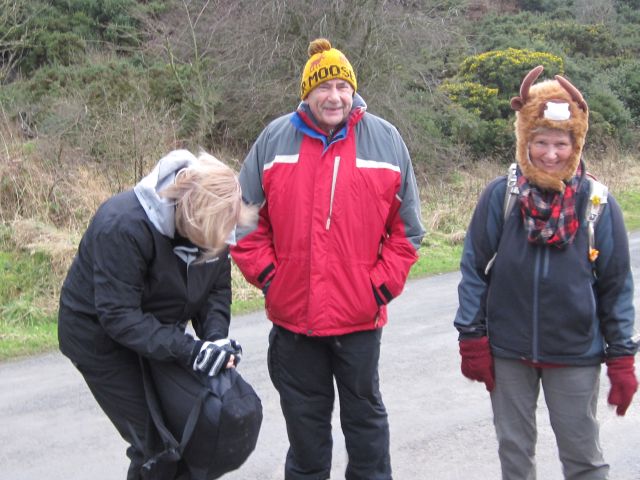
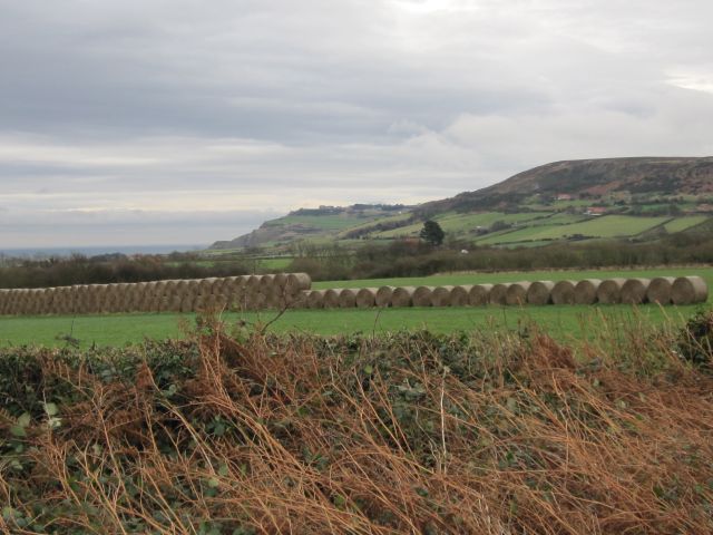
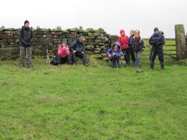
Malcolm and Margaret Atkinson for
photographs
|
 gpx
file
7.8 miles, 1304ft total height gain gpx
file
7.8 miles, 1304ft total height gain |
|
Right-click the map to view or download it at larger size |
|
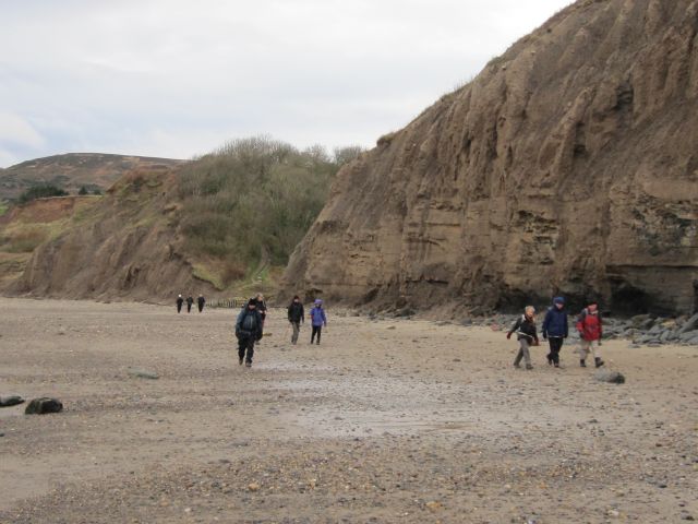
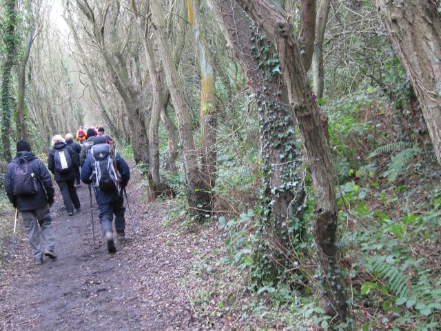
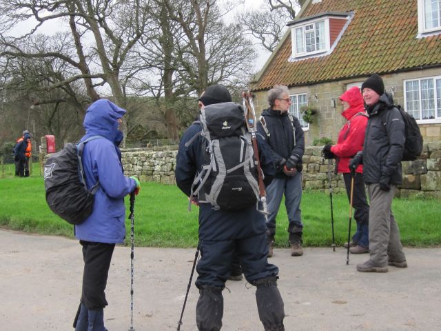
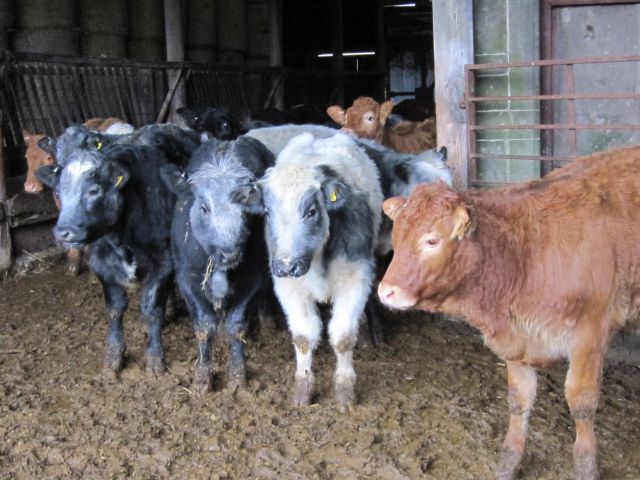
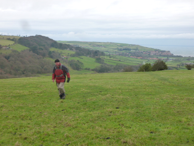
Pics below by Chris Bibby |
 |
 |
|
|
 |
|
|
|
|
|
|
|
 |
 |
|
|
|
|
 |
 |
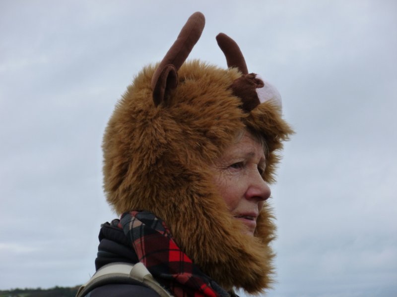
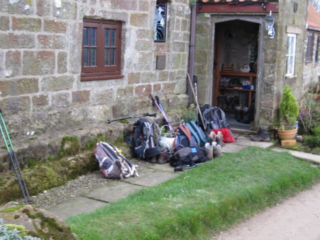 Pics below by Gary Malcolm |
 |
 |
 |
|
 |
 |
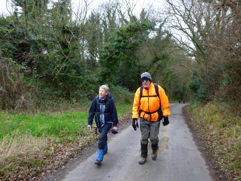 |
 |
 |
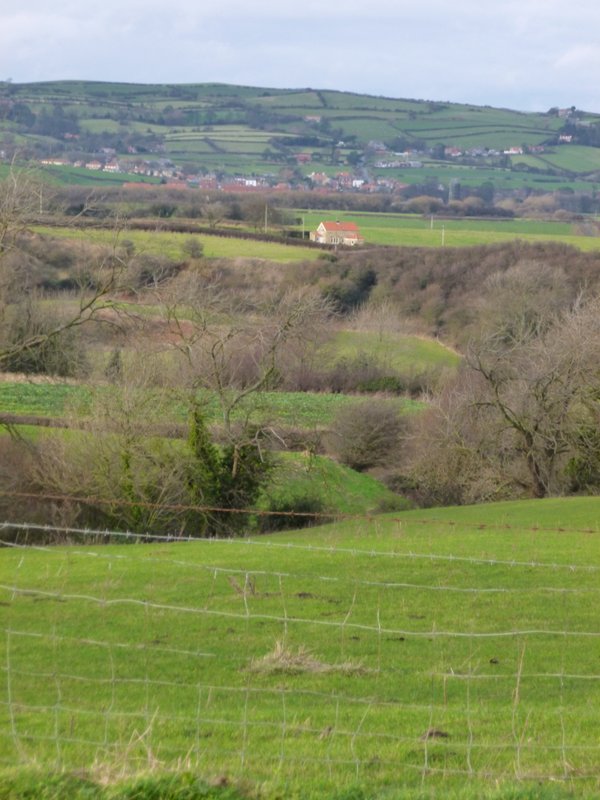 |
 |
|
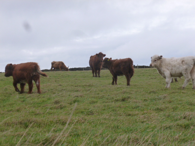
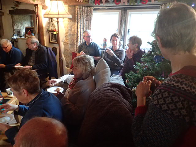
Pics below by Margaret Atkinson
 |
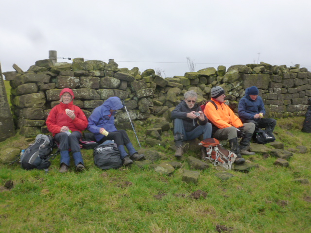 |
 |
 |
 |
 |
 |
 |
 |
 PRE-WALK INFO: (If supplied) Walk leader's description of start point/general
information about route.
PRE-WALK INFO: (If supplied) Walk leader's description of start point/general
information about route.
Postcode YO13 0NH Turn left off Ravenscar road at Smuggler's Rock guest house, follow single track road past radio mast and down steep hill for about a mile. Road levels out at quarry on left and piles of logs on right. Park on grass here, we will help direct if necessary! Please try to share cars where possible as parking is limited. Hope to see you there. |