|
October 5,
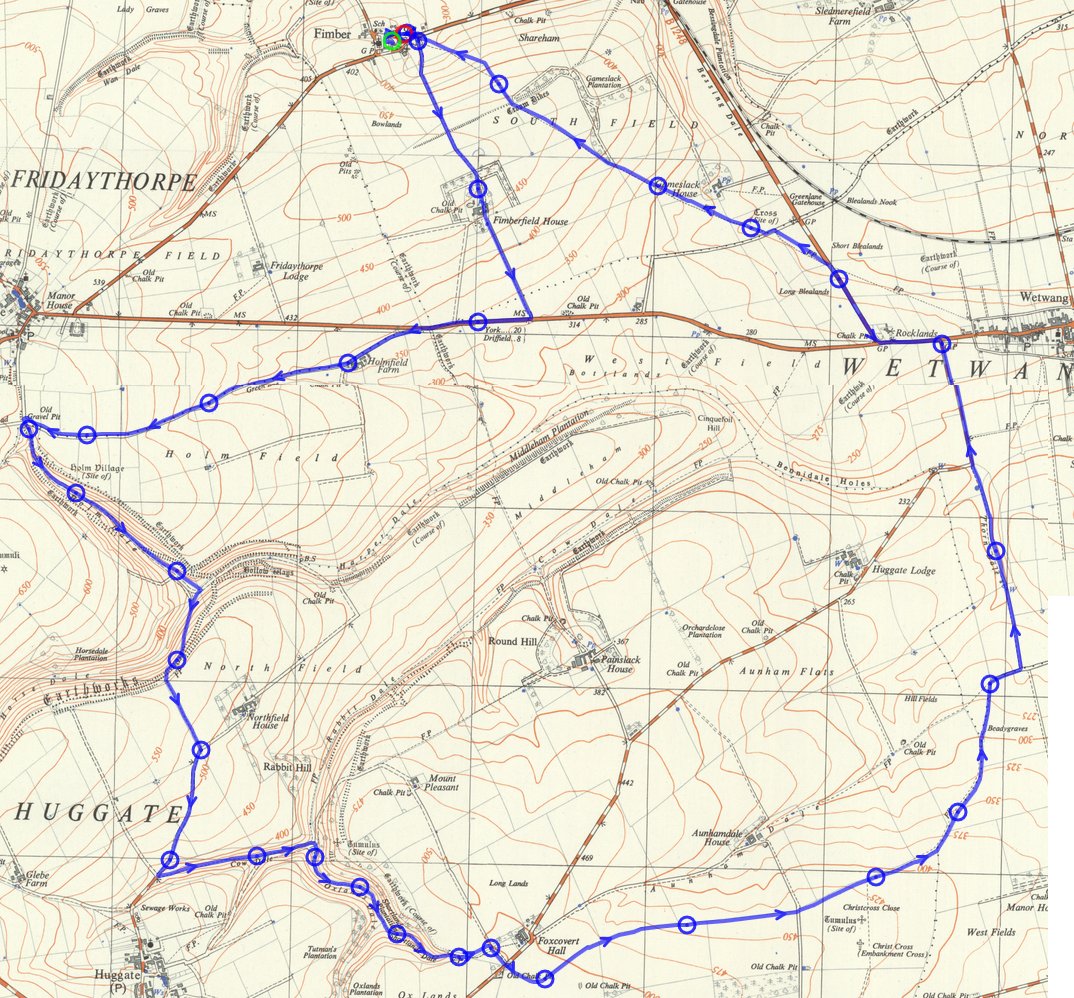
Fimber, led
by Alan Wrightson |
 gpx
file gpx
file |
 |
|
Right-click to view or download map at full (larger)
size
|
|
|
 |
 |
|
|
 |
|
|
|
|
|
|
|
 |
 |
|
|
|
|
 |
 |
 |
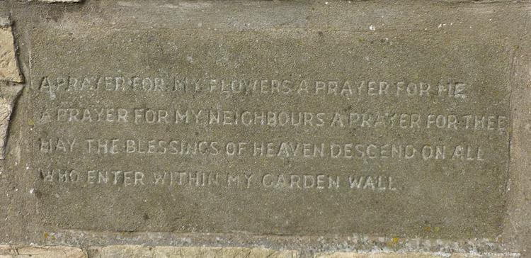 |
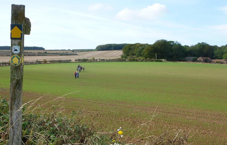 |
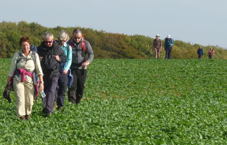 |
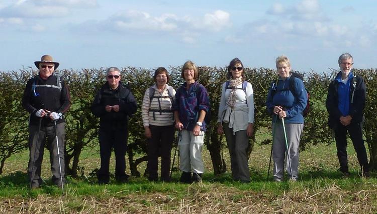
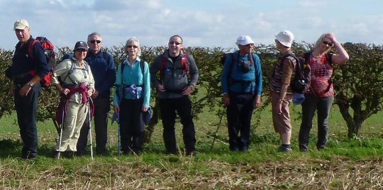
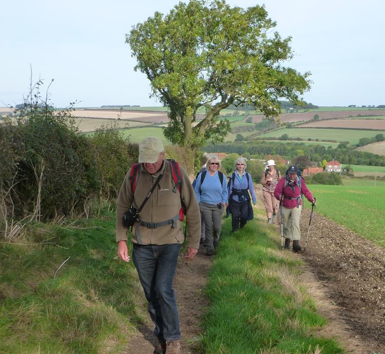
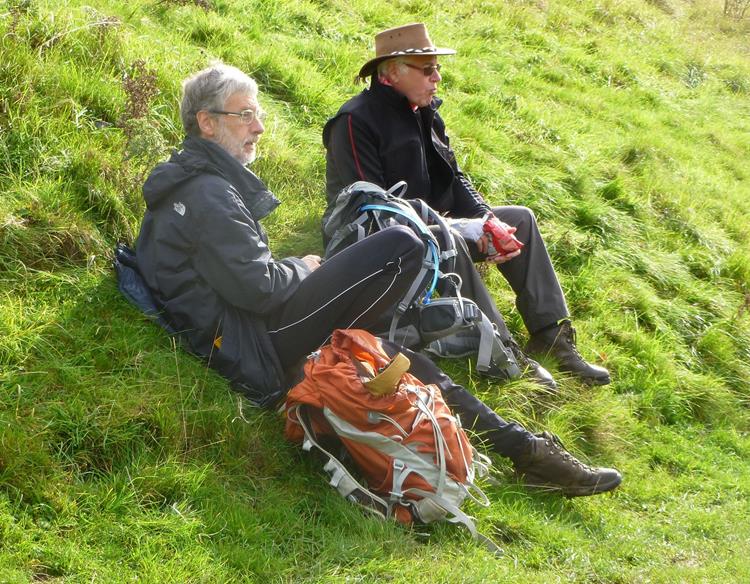
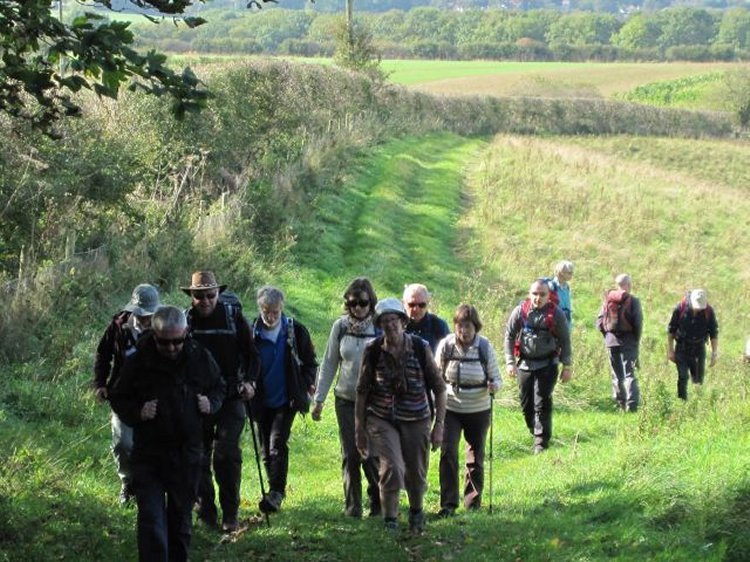
| Pictures below by Chris Bibby |
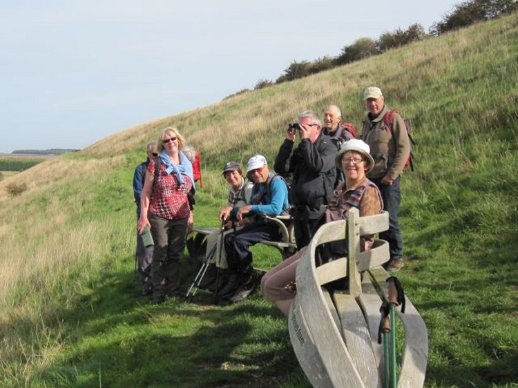 |
 |
 |
 PRE-WALK INFO: (If supplied) Walk leader's description of start point/general
information about route.
PRE-WALK INFO: (If supplied) Walk leader's description of start point/general
information about route. Satellite view of start point : Please note that the grid reference is usually a walk leader's estimate. If correct, it will be accurate to 100m. Bing and Google use a different map projection from the Ordnance Survey, so the given reference is converted, and the satellite view may therefore be more inaccurate. Walk leaders have been invited to supply verbal descriptions of the start point, and when provided, this should provide the most reliable guidance. |