|
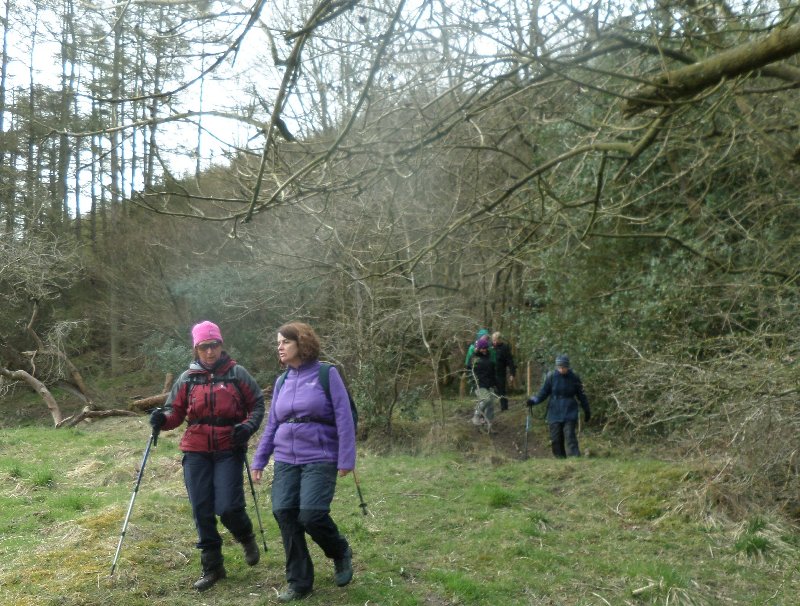
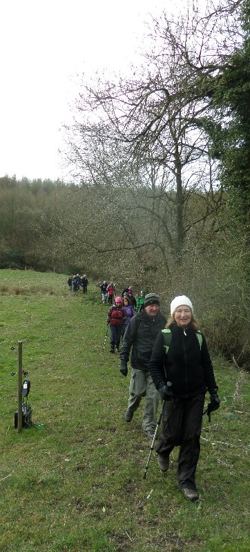
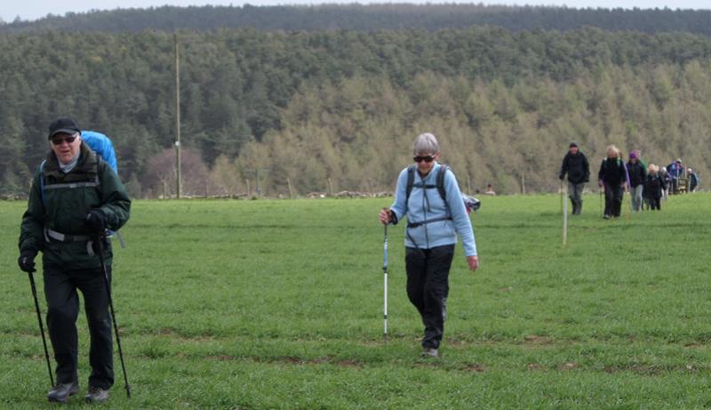
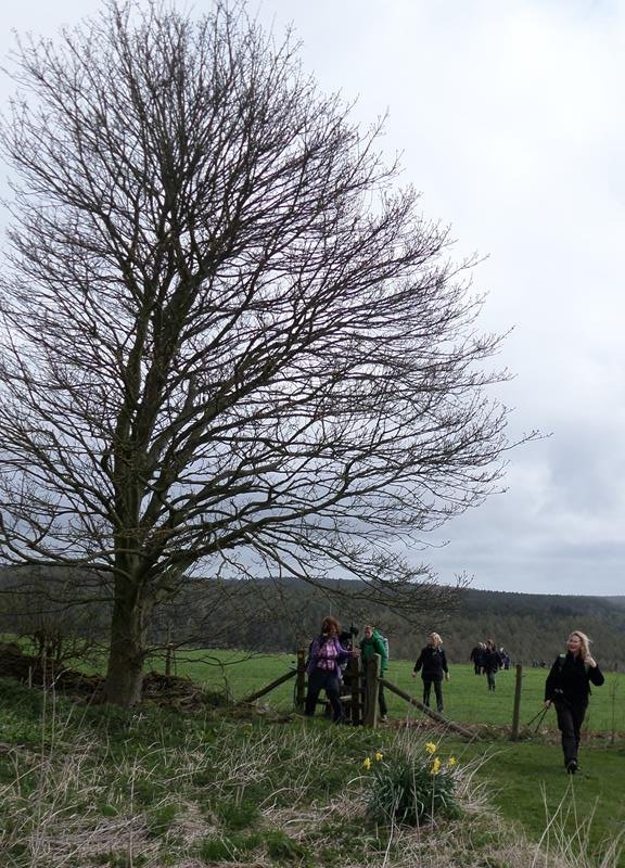
19 Basin Howe, led by H&M Whitehouse |
|||
|
Back marker: Bob Clutson. Extra pics by Chris Bibby and Irene Young |
|||
 gpx gpx
|
11.2 miles, 1254 ft height gain | ||
|
|
|||
 |
|||
 |
|||
|
|
|||
 |
|||
 |
|||
|
|
|||
|
|
|||
|
|
|||
|
|
|||
|
|||
 |
|||
 |
|||
|
|
|||
|
|
|||
 |
|||
 |
|||
 |
|||
 |
|||
 |
|||
 |
|||
 |
|||
 |
|||
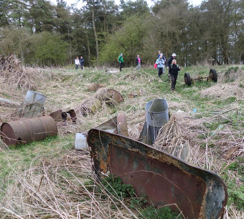
| Junk dumped on Scamridge Dikes, the prehistoric
earthwork that is a scheduled ancient monument. |
|||
 |
|||
| Pics below by Chris Bibby | |||
 |
|||
 |
|||
 |
|||
 Pics below by Irene Young |
|||
 |
|||
 |
|||
 |
|||
 |
|||
 PRE-WALK INFO: (If supplied) Walk leader's description of start point/general
information about route.
PRE-WALK INFO: (If supplied) Walk leader's description of start point/general
information about route.
If travelling from Scarborough, take the A170 to Snainton. Turn right beside the pub into Nettledale Lane, and follow this for three miles to the car park on the right. The route goes initially west and south, around Broad Head, along Givendale Rigg, through Allerston and Ebberston, returning via the Chafer Wood Nature Reserve and Scamridge Slack. |
|||