|
1 Stape, led by Phil Trafford |
|||
|
Back marker: Ray Johnson Extra pics by Gary Malcolm Mauley Cross notes |
|||
 gpx |
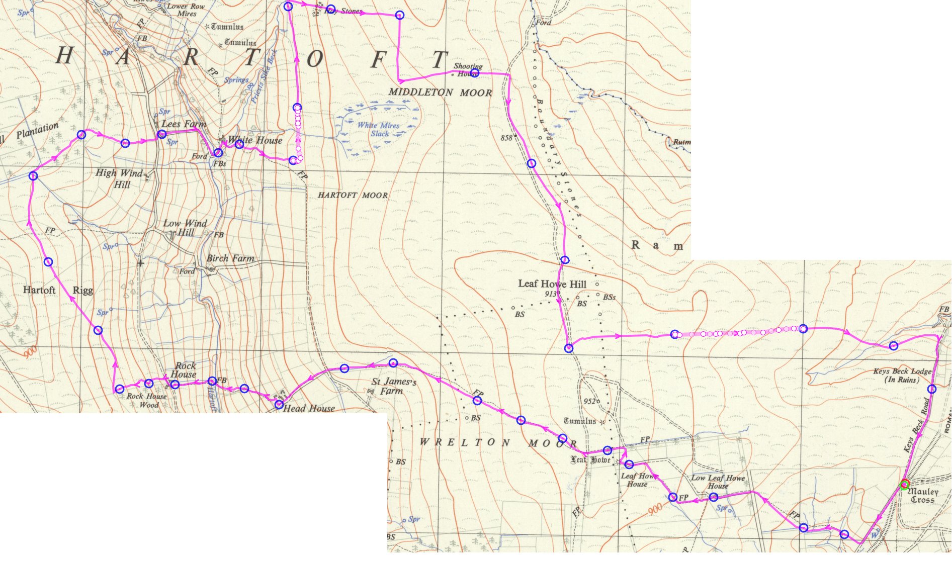
9.8 miles, 1149ft height gain | ||
| Right-click map to view at full size. | |||
|
|
|||
| ---------------- | |||
|
|
|||
 |
|||
 |
|||
|
|
|||
 |
|||
|
|
|||
|
|
|||
|
|
|||
|
|||
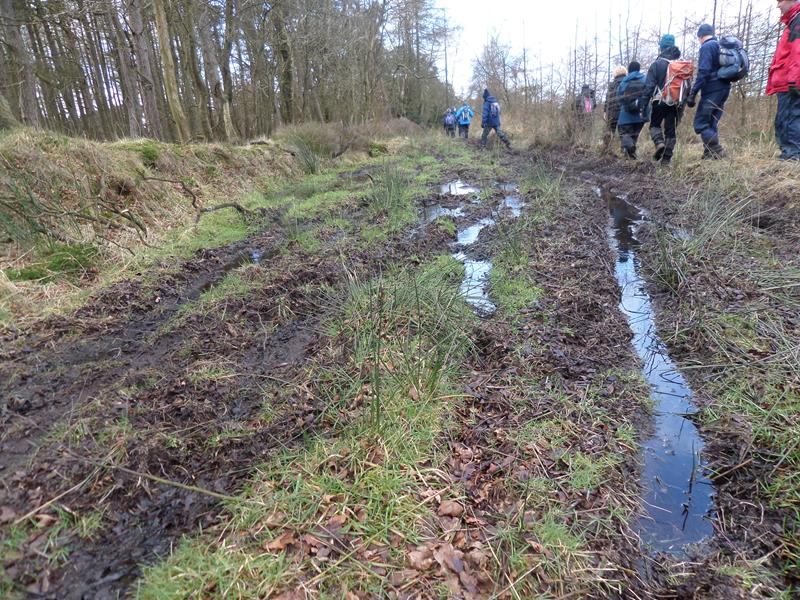
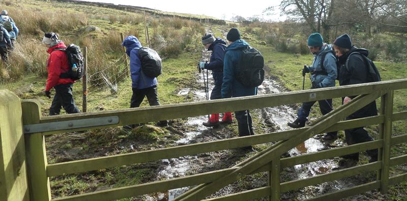
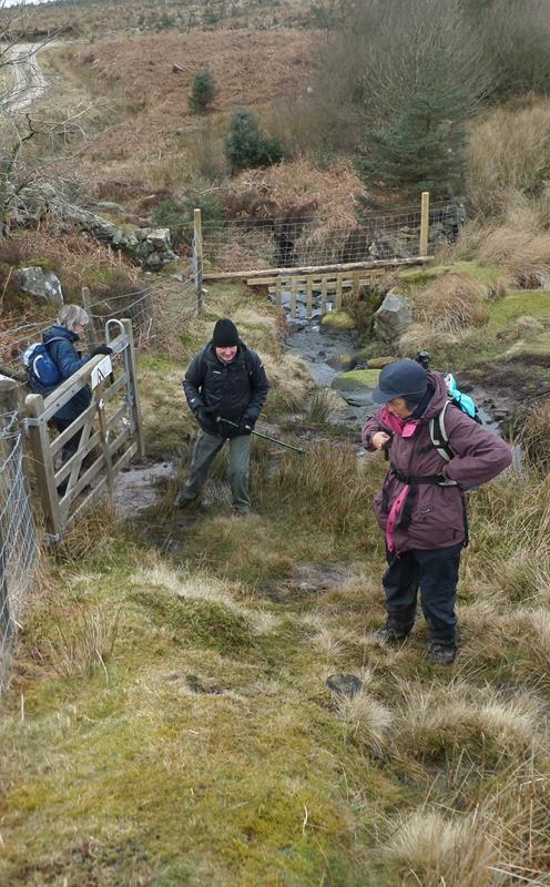
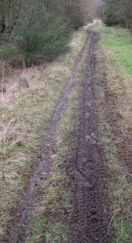 This public footpath was unmarked in summer. Since then, motorcyclists have vandalised it. |
|||
 |
|||
|
|
|||
|
|
|||
 |
|||
 |
|||
 |
|||
 |
|||
 |
|||
 |
|||
| Pics bwlow by Gary Malcolm | |||
 |
|||
 |
|||
 |
|||
 |
|||
 |
|||
 |
|||
 |
|||
  |
|||
 |
|||
 |
|||
 |
|||
 |
|||
 |
|||
Mauley Cross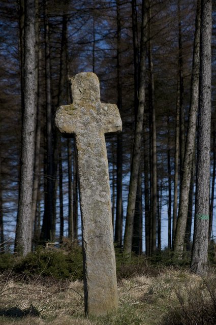 After today's walk, I was asked about the origin of the Mauley Cross, which stands near the meeting spot. It was erected in medieval times on behalf of the de Mauley family, of Mulgrave Castle, to mark either the boundary of their estate, or of their grazing rights, on what was at the time open moorland. The forest track beside which it stands is on the line of the Roman road that runs from Amotherby, through Cawthorne Camps to Whitby. At least, it's generally regarded as a Roman road, although I did once come across a passage in a Natural England publication, which referred to the Wheeldale section as "possibly Roman, possibly earlier, possibly later", which is really hedging your bets. |
|||
 PRE-WALK INFO: (If supplied) Walk leader's description of start point/general
information about route. 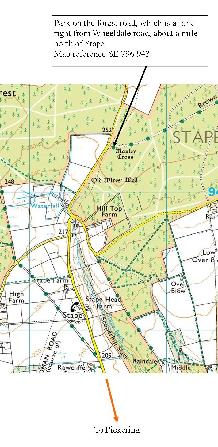 |
|||