|
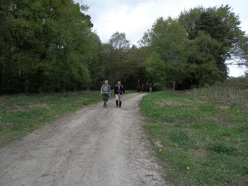
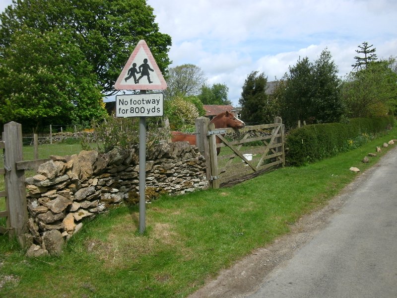
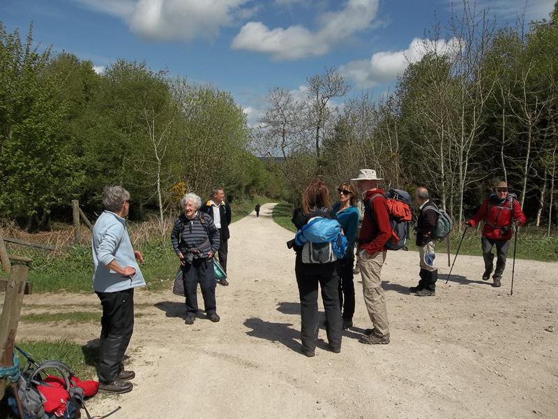
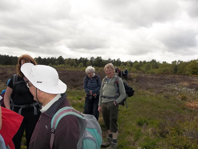
17 May, Highwood Brow, led by Richard Bedford |
|||
|
Map data supplied by Allan Wrightson. Pictures supplied by Allan Wrightson and Richard Bedford. |
|||
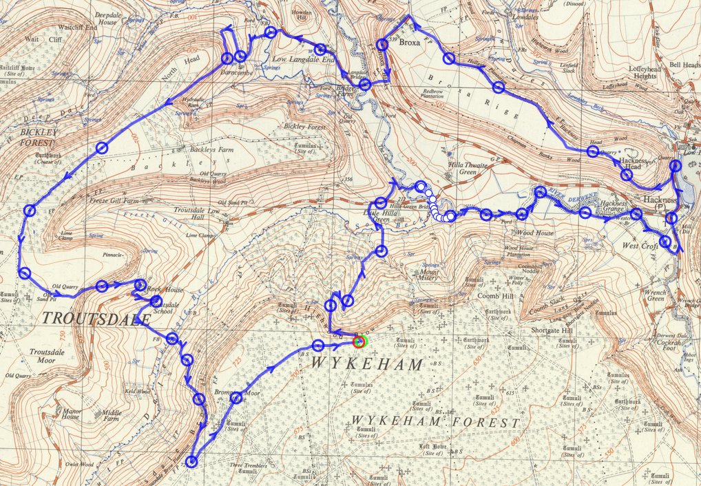
 gps track Distance: 12.4 miles
Height gain: 1934 ft
gps track Distance: 12.4 miles
Height gain: 1934 ft |
|||
|
|
|||
|
Pics below by Allan Wrightson |
|||
 |
|||
 |
|||
|
|
|||
|
Pics below by Richard Bedford |
|||
|
|
|||
|
|
|||
|
|
|||
|
|||
 |
|||
 |
|||
|
|
|||
|
|
|||
|
|
|||
| |
|||
|
|
|||
 PRE-WALK INFO: (If supplied) Walk leader's description of start point/general
information about route.
PRE-WALK INFO: (If supplied) Walk leader's description of start point/general
information about route.
|
|||