|
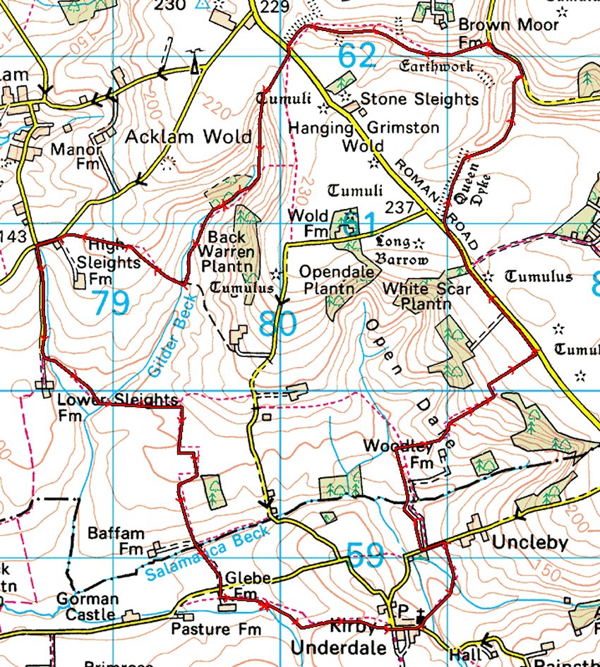
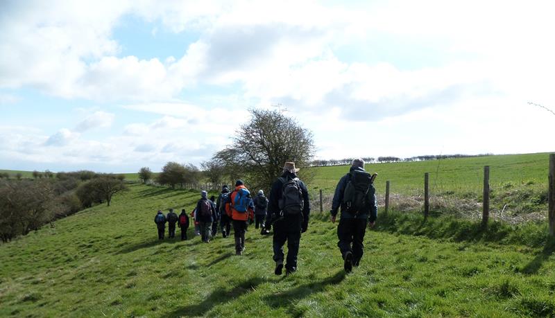
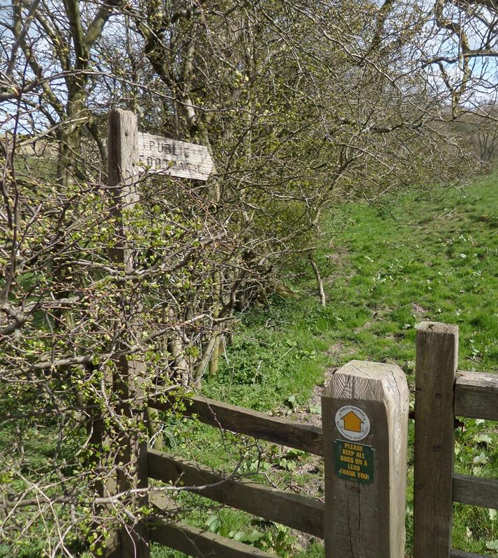
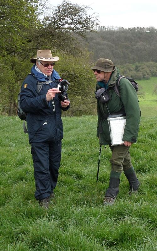
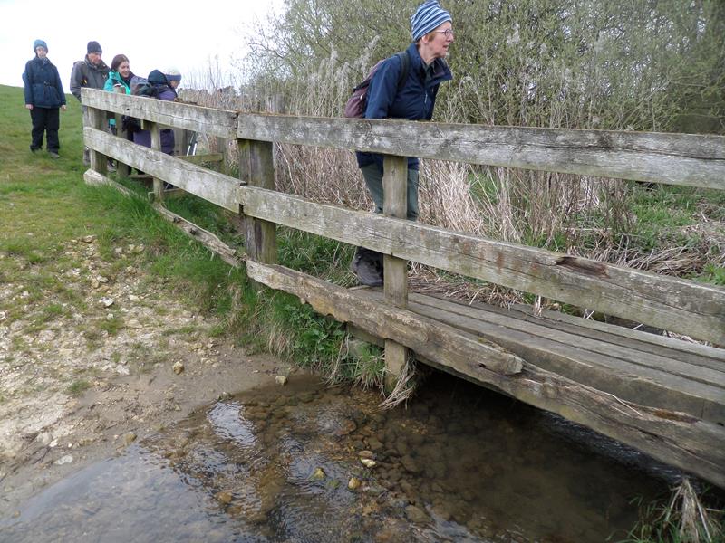
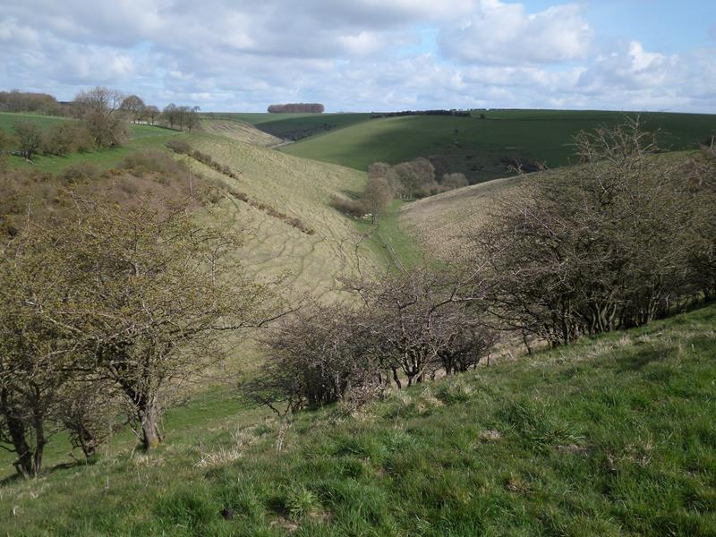
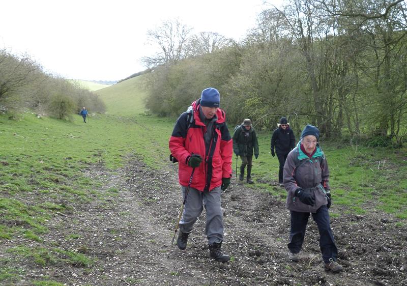
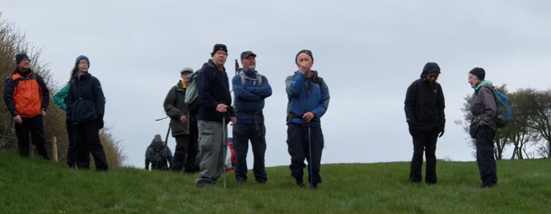
24 April, Hanging Grimston, led by Judy Trafford |
|
| gpx track 20 walkers Distance: 8.3 miles
Total ascent: 1137 ft
Back marker: R Clutson. Extra pics by Wayne and Donna Dosdale, and Chris Bibby |
|
|
|
|
|
|
|
|
|
|
 |
|
 |
|
|
|
|
 |
|
|
|
|
|
|
|
|
|
|

|
|
 |
|
 |
|
|
|
|
|
|
|
 |
|
 |
|
 |
|
 |
|
 |
|
 |
|
 |
|
 |
|
| |
|
 |
|
 |
|
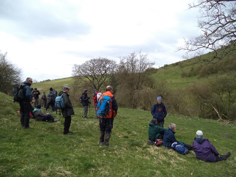
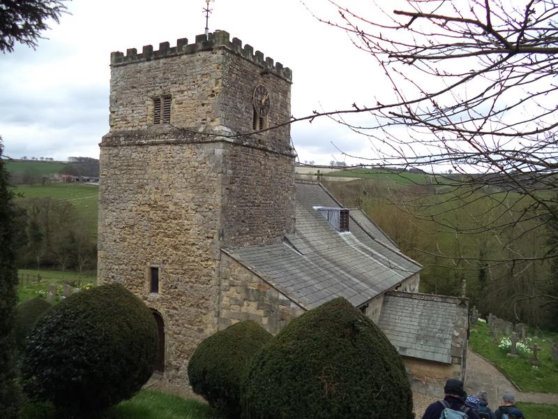
| Pics below by Wayne and Donna Dosdale | |
 |
|
 |
|
 |
|
 |
|
 |
|
 |
|
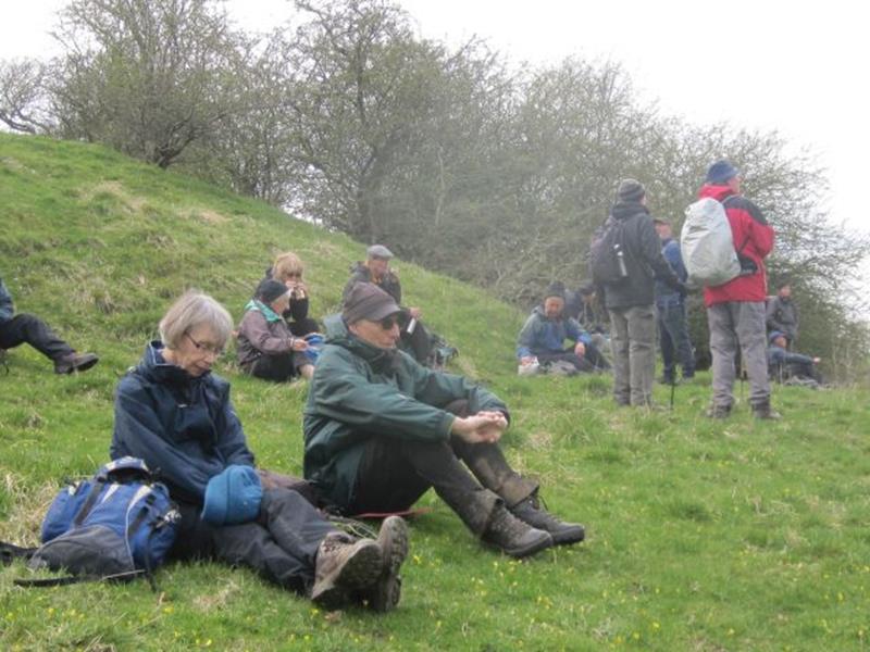
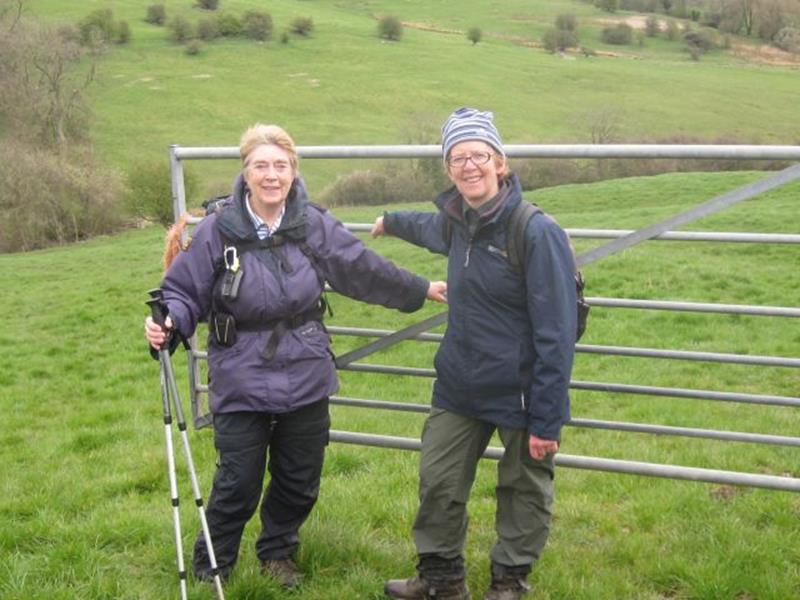
| Pics below by Chris Bibby | |
 |
|
 |
|
 |
|
 |
|
 PRE-WALK INFO: (If supplied) Walk leader's
description of start point/general information about route.
PRE-WALK INFO: (If supplied) Walk leader's
description of start point/general information about route.
The simplest route from Scarborough is up Staxton hill, right turn at
Octon roundabout, right turn at Sledmere, right turn at Fridaythorpe and
then second turn on right after leaving Fridaythorpe village. It is the
first right turning after the Wayrham Picnic site on your left. There is an
aerial at the turn & the road goes back on itself. Go on this road for almost
2 miles & you will see some trees on the verge to your right at the entrance
to Thixendale Grange drive. The parking place is immediately after this
entrance. It is where the council pile stones (Hopefully not before Sunday!)
For people who use satnav Thixendale Grange postcode is YO17 9LP.
|