|
6 November, New May Beck, led by Phil Trafford |
| Morning walk: gpx track 8 walkers Distance: 5.6 miles
Total ascent: 584ft Back marker: A Walker Mapping data supplied by Phil Trafford and Bob Clutson. Pics by Phil Trafford, Bob Clutson and Gary Malcolm. |
|
|
|
Pics below by Phil Trafford |
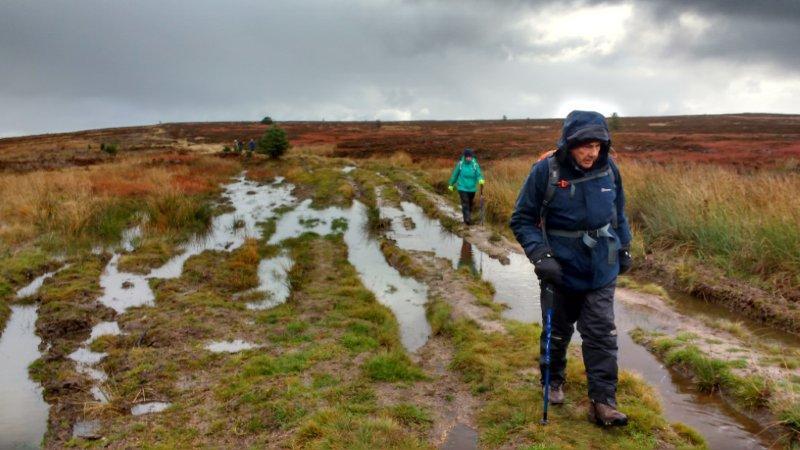 |
 |
|
|
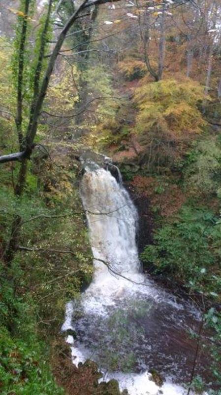 |
|
Pics below by Bob Clutson |
|
|
 |

|
 |
| Pic below by Gary Malcolm |
|
|
|
|
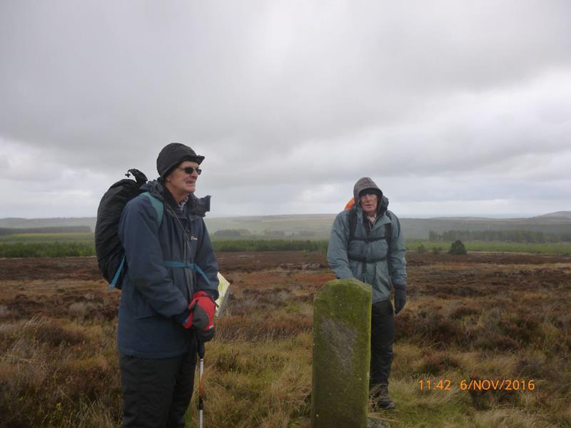 |
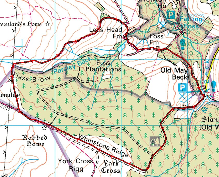
| The pre-prepared route for the afternoon walk proved to be impractical because of high water at a stream crossing. Two gpx files are attached: the first is the planned route (shown in red on the map), and the second is of the actual route (shown in blue), which requires walking off the beaten path. (You have been warned.) |
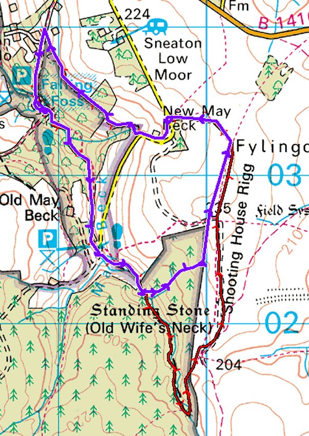 |
actual elevation profile |
planned elevation profile |
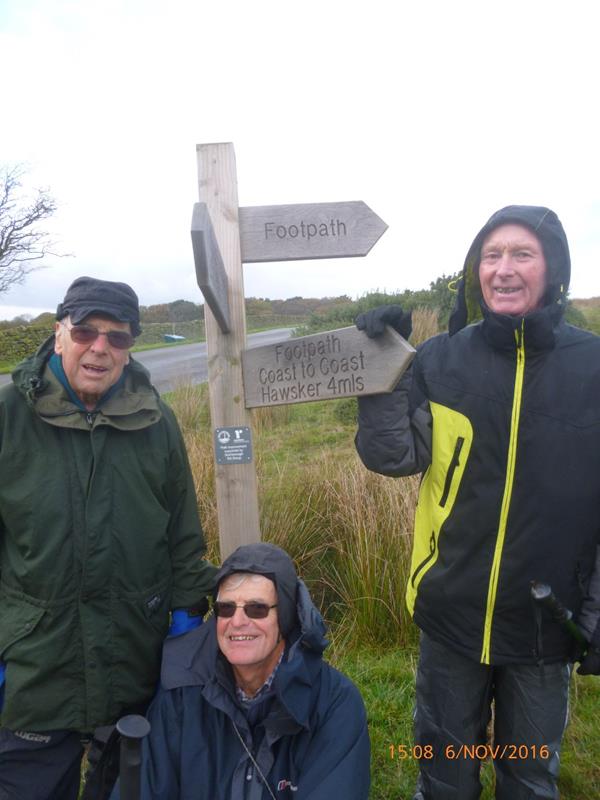
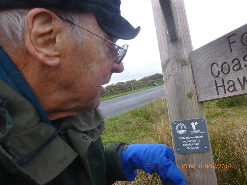
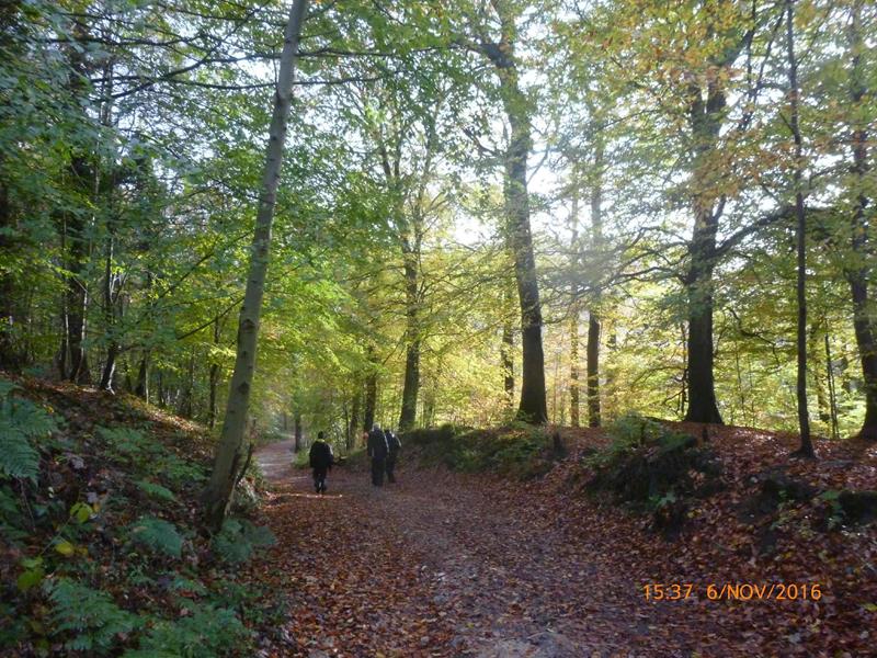
| Pics below by Gary Malcolm |
 |
 |
 |
 |
 PRE-WALK INFO: (If supplied) Walk leader's
description of start point/general information about route.
|