|
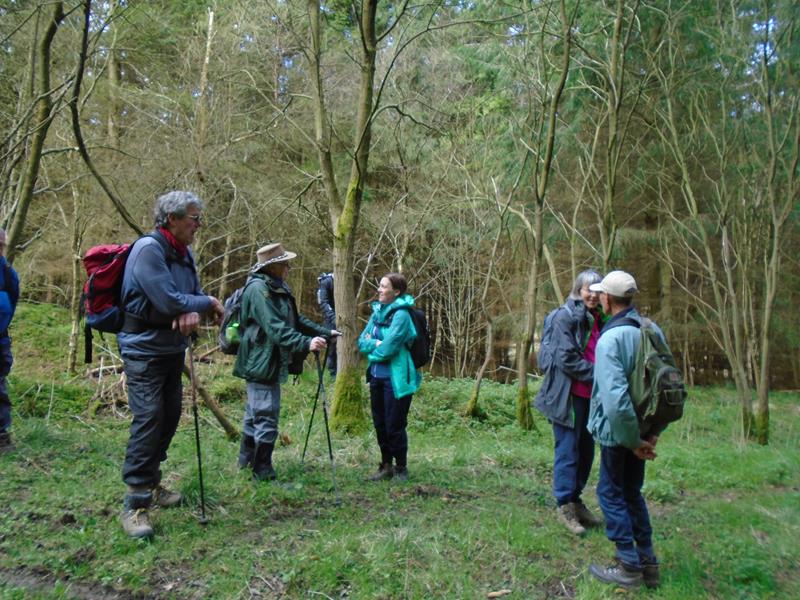
2 April, Wykeham Forest, led by Richard Bedford |
|
Never lose touch with the person ahead or the person behind |
| gpx track walkers: 13 Distance: 11.2 miles
Total ascent: 1582ft Back marker: Michael Woodhouse. Mapping data supplied by Wayne Dosdale. Pics by Allan Wrightson, Donna and Wayne Dosdale, and Peter Bettany. |
|
|
|
|
|
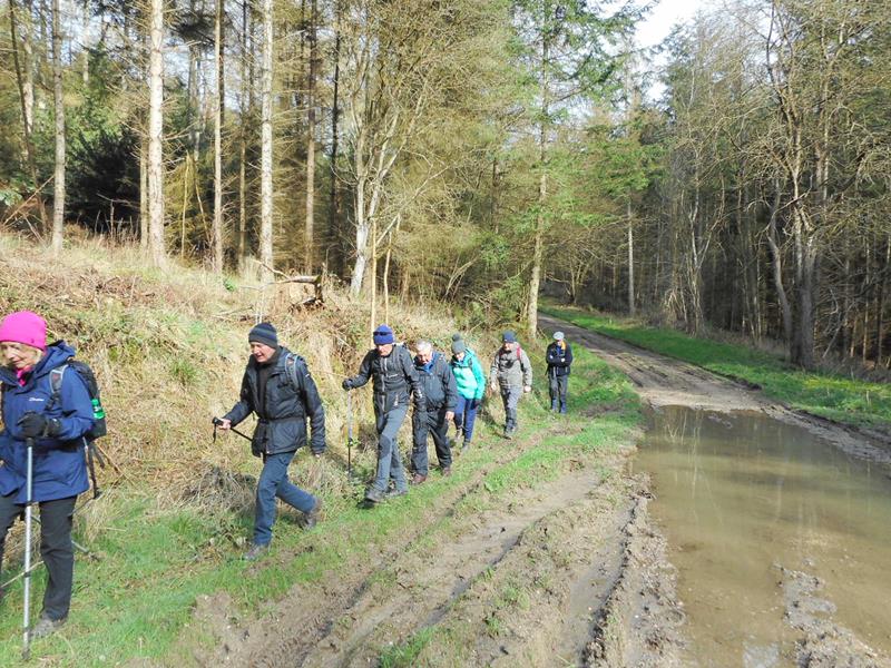
Pics below by Allan Wrightson |
 |
|
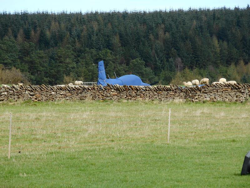
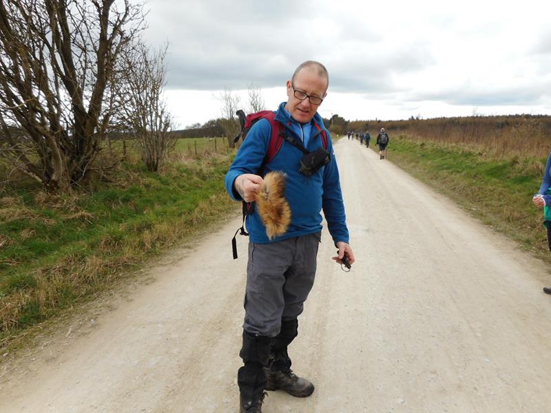
Aircraft at South Moor Farm. Despite opposition from North York Moors National Park and other bodies, planning permission has been granted for the construction and use of an airstrip close to a public bridleway. |
 Pass |
|
|
|
|
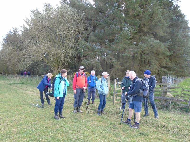
| Pics below by Donna and Wayne Dosdale |

|
 |
 |
|
|
|
|
 |
 |
 |
Pics below by Peter Bettany |
 |
 |
 |
 |
 |
 PRE-WALK INFO: (If supplied) Walk leader's
description of start point/general information about route.
|