|
9-12 June, East Yorkshire and Derwent RA camp, Middleton-in-Teesdale |
|
|
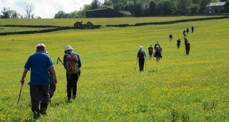
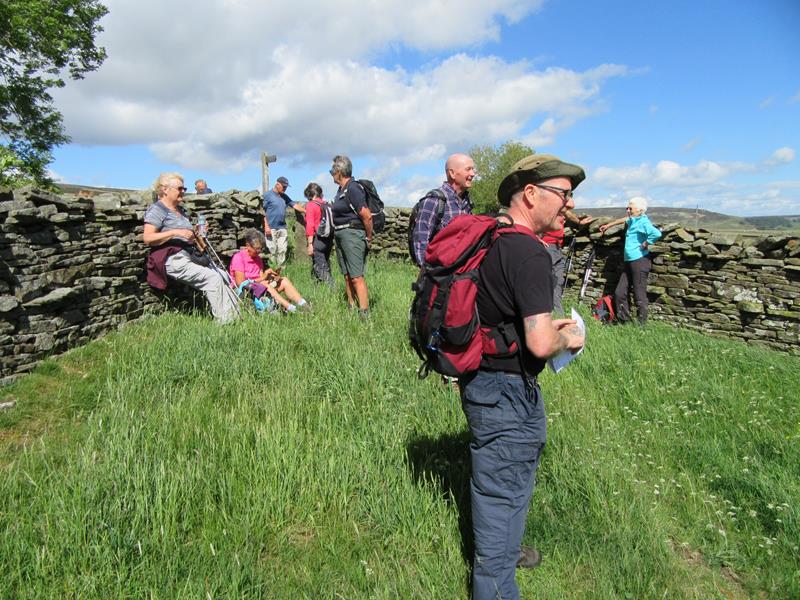
Never lose touch with the person ahead or the person behind |
|
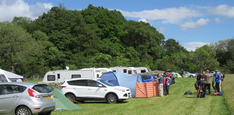
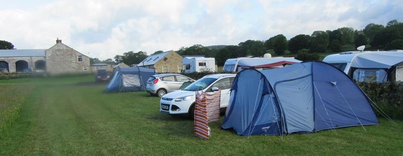
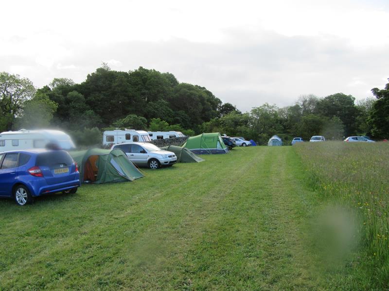
| 23 attended, from Hull and Holderness, Ryedale, Scarborough and York groups. Tent campers: 16, motorhome: 2, B&B: 5.
|
|
|
Extra pics by Wayne Dosdale, Donna Dosdale and Gary Malcolm |
|
|
|
|
 |
|
 |
|
|
|
|
|
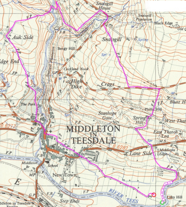
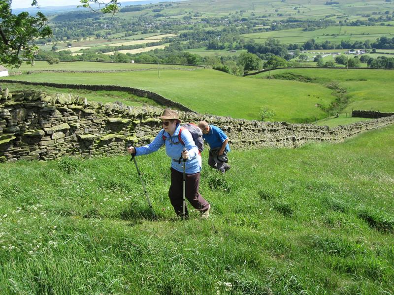
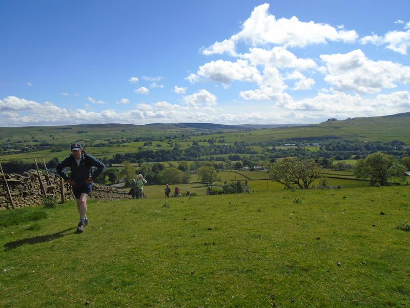
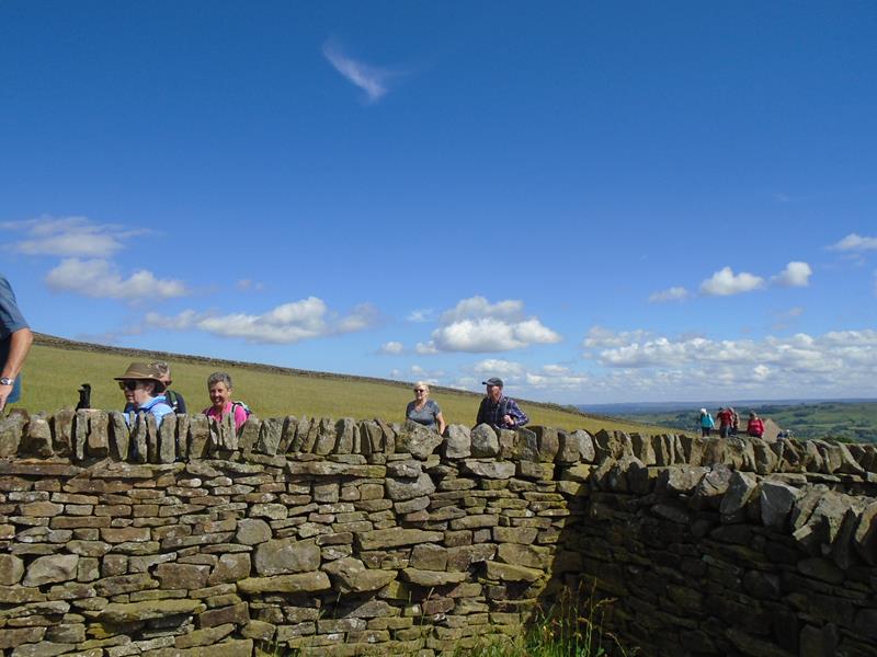
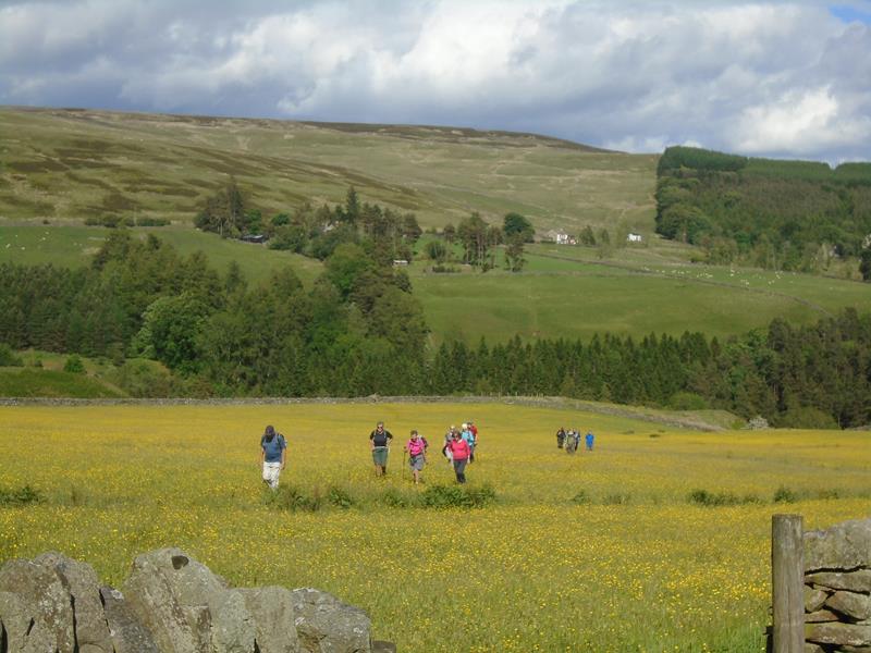
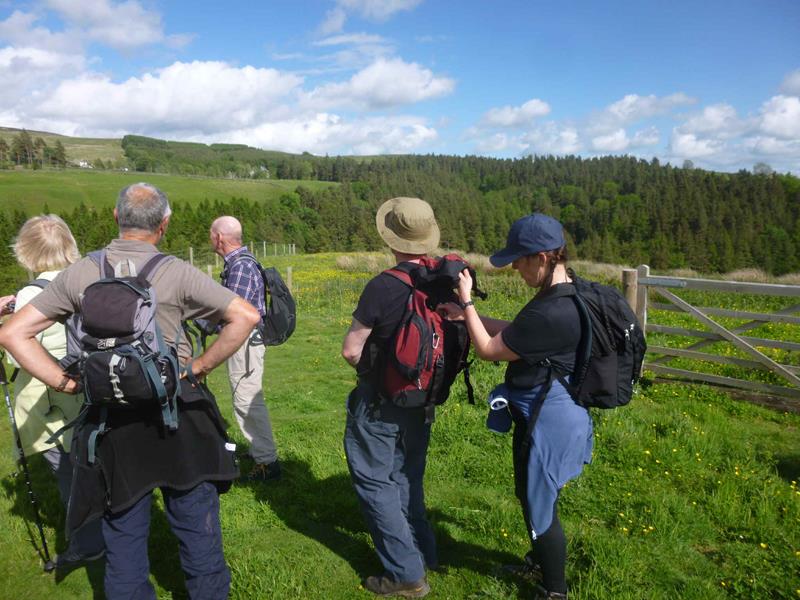
Friday 9 June, Middleton-in-Teesdale, led by Wayne Dosdale. gpx track walkers: 19 Distance: 4.9 miles Total ascent: 834ft Back marker: Harry Whitehouse |
|
|
|
|
|
|
|
 |
|
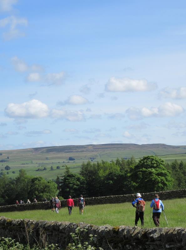
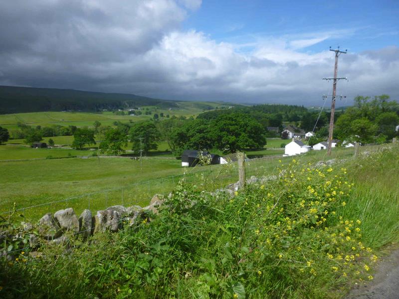
 The ever-present Kirkcarrion (see Sunday evening walk below) on the horizon.
|
|
 |
|
 |
|
|
|
|
|
|
|
 |
|
|
Pics below by Wayne Dosdale |
|
 |
|
 |
|
 |
|
 |
|
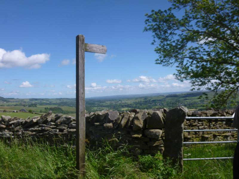
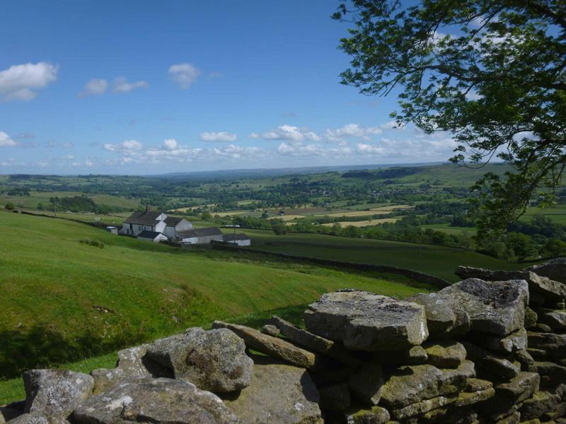
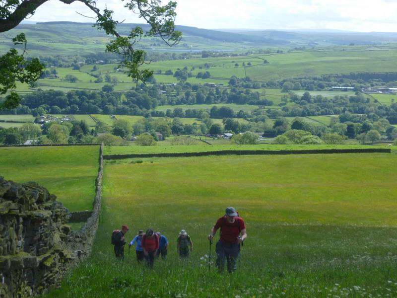
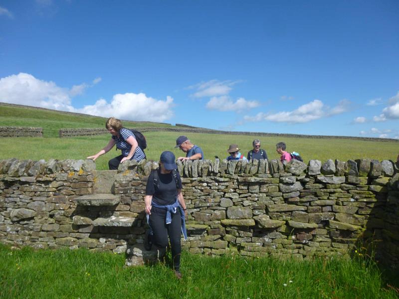
| Pics below by Gary Malcolm | |
 |
|
 |
|
 |
|
 |
|
 |
|
 |
|
 |
|
 |
|
 |
|
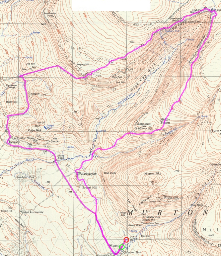
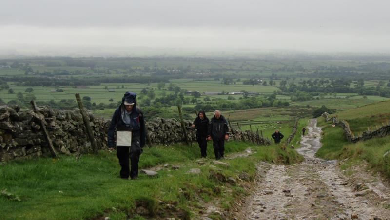
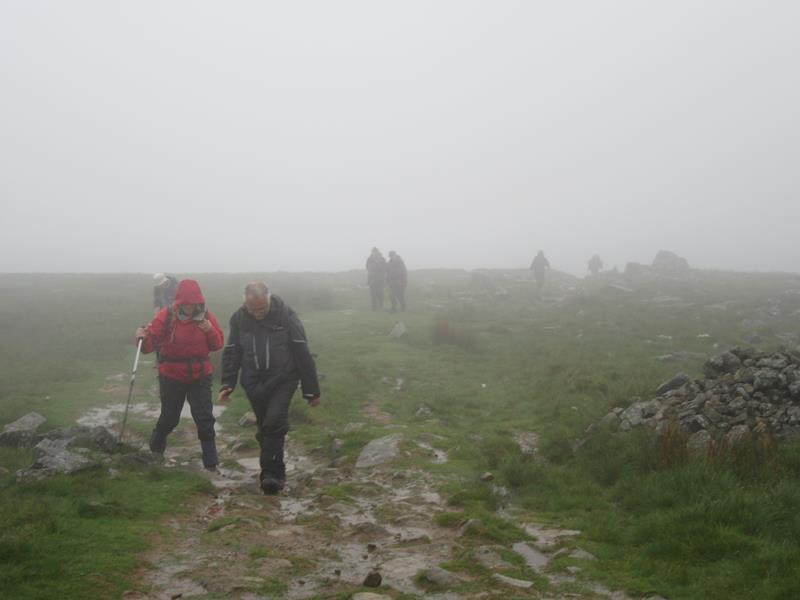
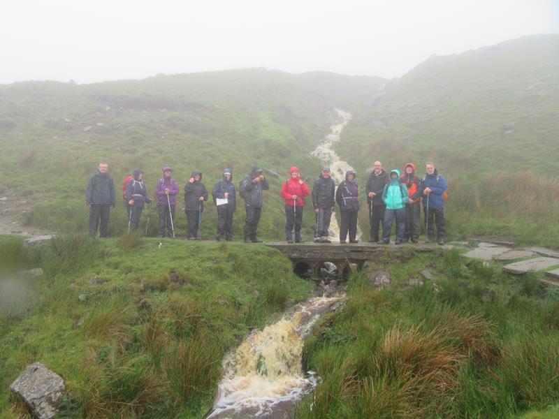
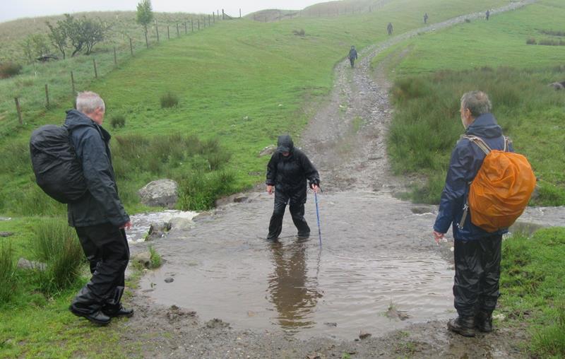
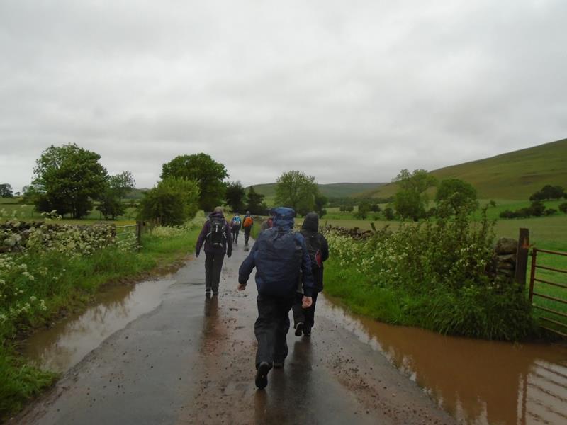
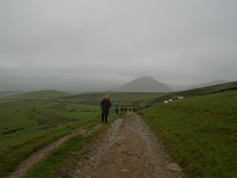
Friday 10 June, High Cup Nick, led by Harry Whitehouse. gpx track walkers: 21 Distance: 10 miles Total ascent: 1808ft Back marker: Wayne Dosdale/Gary Malcolm |
|
 |
|
 |
|
 |
|
 |
|
 |
|
|
Click the arrow on the image above to play a short video |
|
 |
|
|
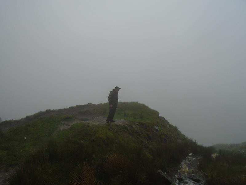
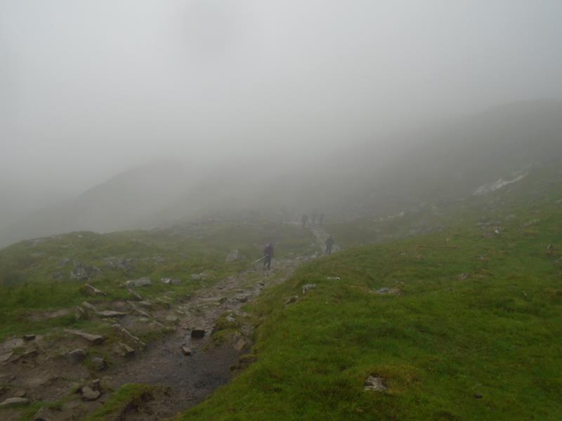
Pics below by Wayne Dosdale |
|
 |
|
 |
|
 |
|
 |
|
|
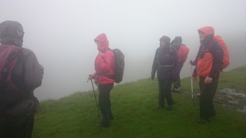
Pic below by Donna Dosdale |
|
 |
|
|
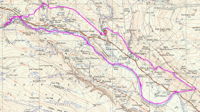
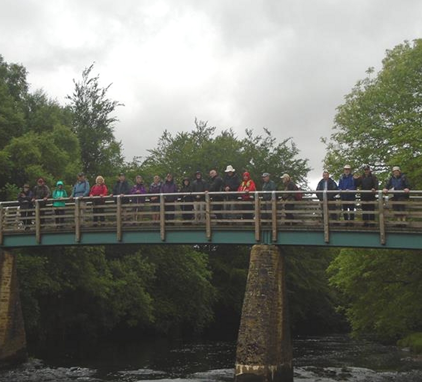
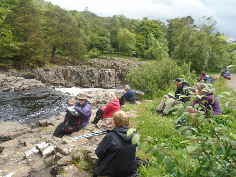
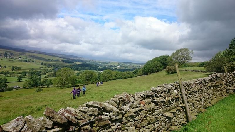
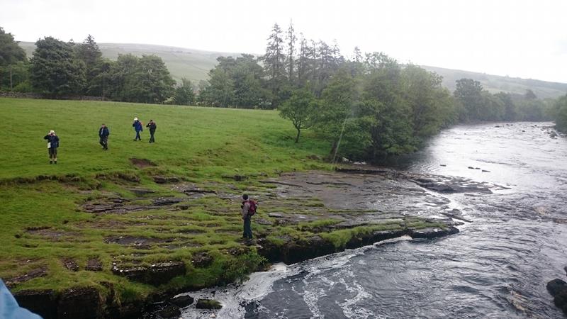
gpx track walkers: 19 Distance: 9.1 miles Total ascent:1041ft Back marker: Gary Malcolm |
|
 |
|
 |
|
 |
|
 |
|
 |
|
 |
|
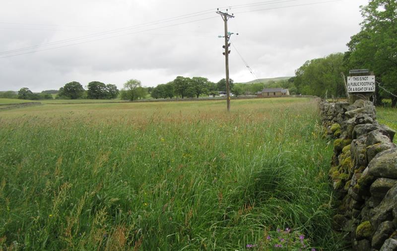 Possibly the most ill-advised sign ever erected by a land-owner, who is absolutely correct in stating that there is no right of way along the edge of the field. To stay on the right of way, walkers should continue along the trodden riverside path for 100 yards, then walk diagonally to the wall, trampling the farmer's crops. |
|
 |
|
 |
|
 |
|
 |
|
 |
|
 |
|
 |
|
 |
|
 |
|
 |
|
 |
|
|
Pics below by Wayne Dosdale |
|
 |
|
 |
|
 |
|
 |
|
|
Pics below by Donna Dosdale |
|
 |
|
 |
|
 |
|
 |
|
 |
|
 |
|
| Pics below by Gary Malcolm | |
 |
|
 |
|
 |
|
 |
|
 |
|
|
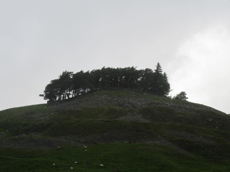
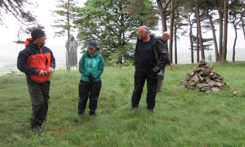
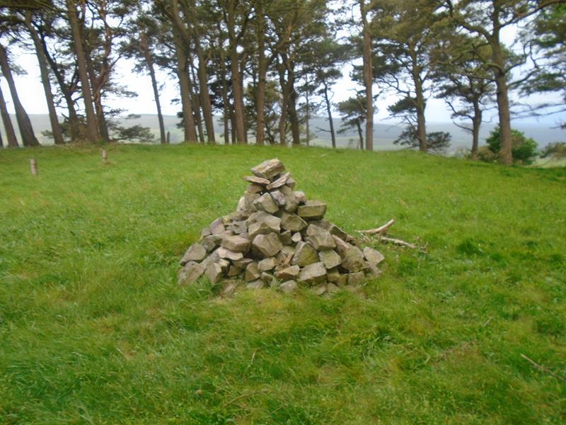
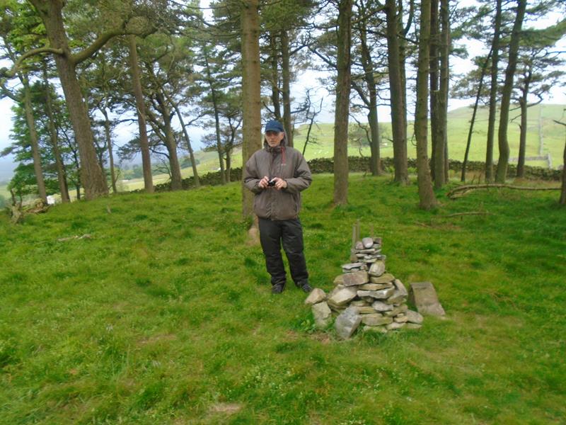
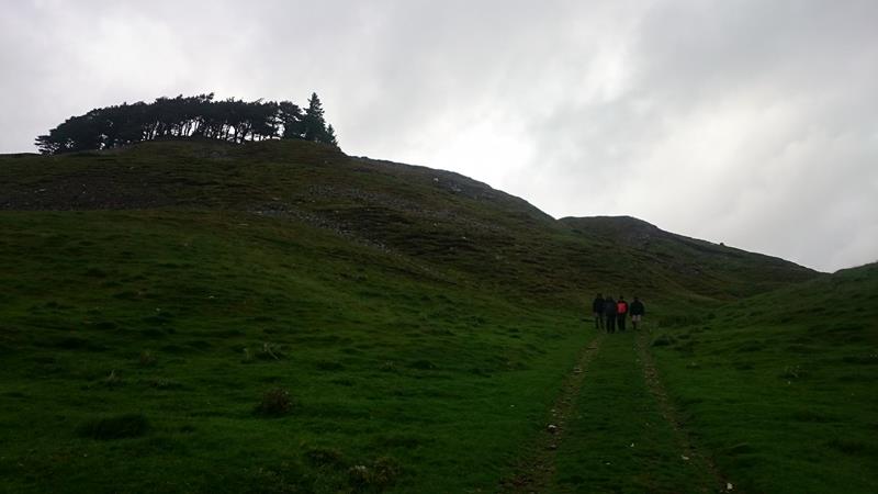
Sunday 11 June, Kirkcarrion. Walkers: 7 An evening stroll of less than a mile to Kirkcarrion, a Bronze Age burial mound that looms over Middleton. In years gone by, local people stayed well clear of the hillock, as it was regarded with superstition. It was reputed to be haunted by a spectral horseman and his accompanying foot soldiers. Trees were planted in the 1930s, and three small cairns have since appeared. A dry stone wall surrounds the site. |
|
 |
|
 |
|
 |
|
|
Pics below by Wayne Dosdale |
|
 |
|
 |
|
|
Pics below by Donna Dosdale |
|
 |
|
 |
|
|
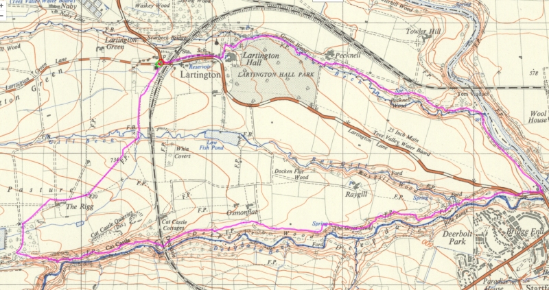
gpx track walkers: 7 Distance: 6.3 miles Total ascent:706ft Back marker: A Walker.
|
|
 |
|
 |
|
 |
|
 |
|
 |
|
 |
|
 |
|
 |
|
 |
|
|
Pics below by Wayne Dosdale |
|
 |
|
 |
|
 |
|
 |
|
|
Pics below by Donna Dosdale |
|
 |
|
 |
|
 |
|
 PRE-WALK INFO: (If supplied) Walk leader's
description of start point/general information about route.
|