<<<Return to Events page                 Join new email list

April 16, West Ayton, led by Bob Clutson

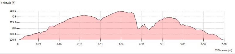
gpx file       7 walkers       7.25 miles  863ft ascent


Data for mapping supplied by Bob Clutson.  Pics by Bob Clutson

Always stay in touch with the person in front, and the person behind

*COPYRIGHT of photographs vests in the photographer identified in the report. 
Permission must be sought before any photograph is copied, or re-used in print or on-line, including social media.


Copyright Openstreetmap and contributors


Pics below by Bob Clutson


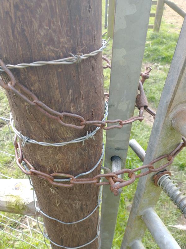
The group came across two footpath issues, which Bob has photographed and reported to the National Park


Oil Seed rape across a right of way. Not a  big obstruction at the moment, but it will be in a month's time if the route isn't mown soon

A chained and locked gate across a right of way near Spikers Hill


Supplementary information: 


<<<Return to Events page