|
August 6 , Westerdale, led by Cathryn Ferris |
|
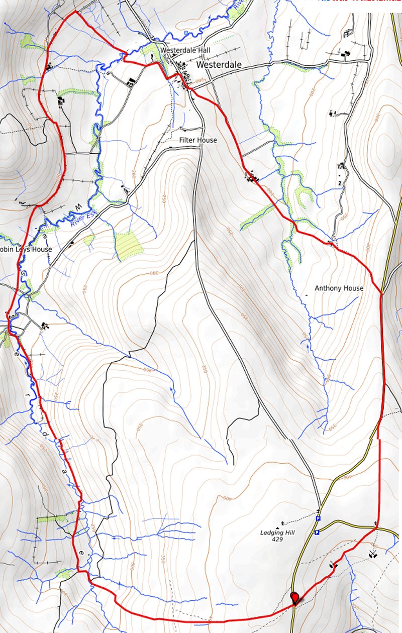
gpx file 4 walkers 9 miles 1306 ft ascent |
Back marker: R Ambler |
|
|
|
Always stay in touch with the person in front, and the person behind |
|
*COPYRIGHT of photographs vests in the photographer identified in the report. |
|
|
|
Copyright Openstreetmap and contributors |
|
|
| Pictures below by Gary Malcolm |
|
|
|
|
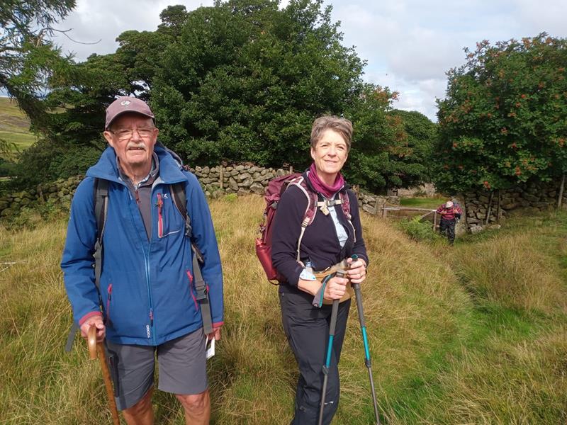 |
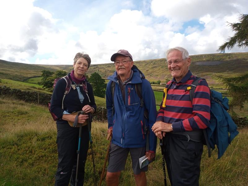
|
 |
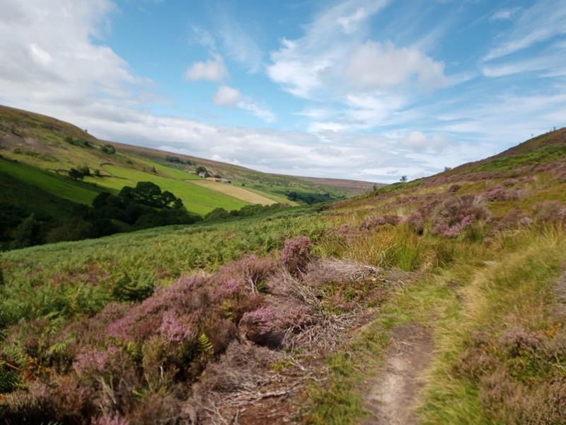 |
|
|
|
Pictures below by Michael Woodhouse |
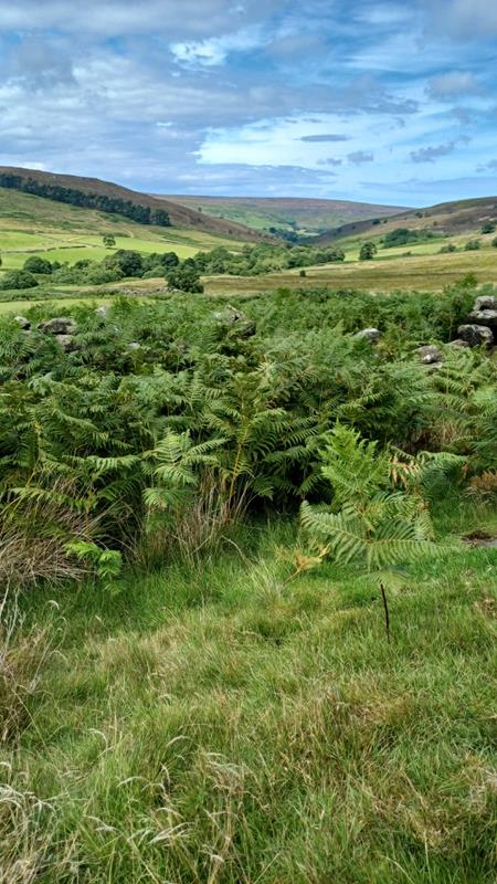 |
 |
  |
|
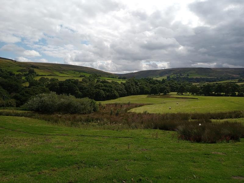
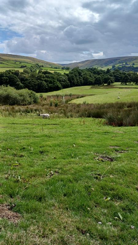
A lovely walk along farm tracks, field and moorland paths. Leaving
Westerdale village we climb up a heathery slope on Castleton Rigg
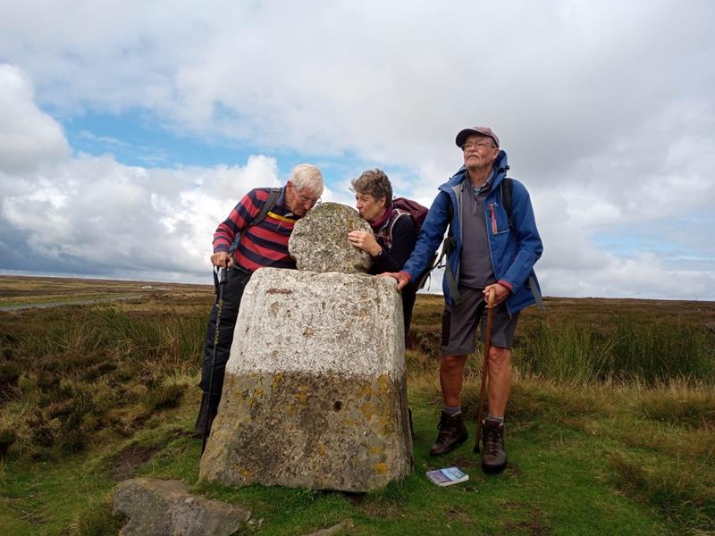
then on to meet ‘Fat Betty’. Stunning views can be seen across Danby
High Moor. We then descend to cross a beck at Esklets and follow the
river on the Esk Valley Way before returning to Westerdale.
|
|
|