|
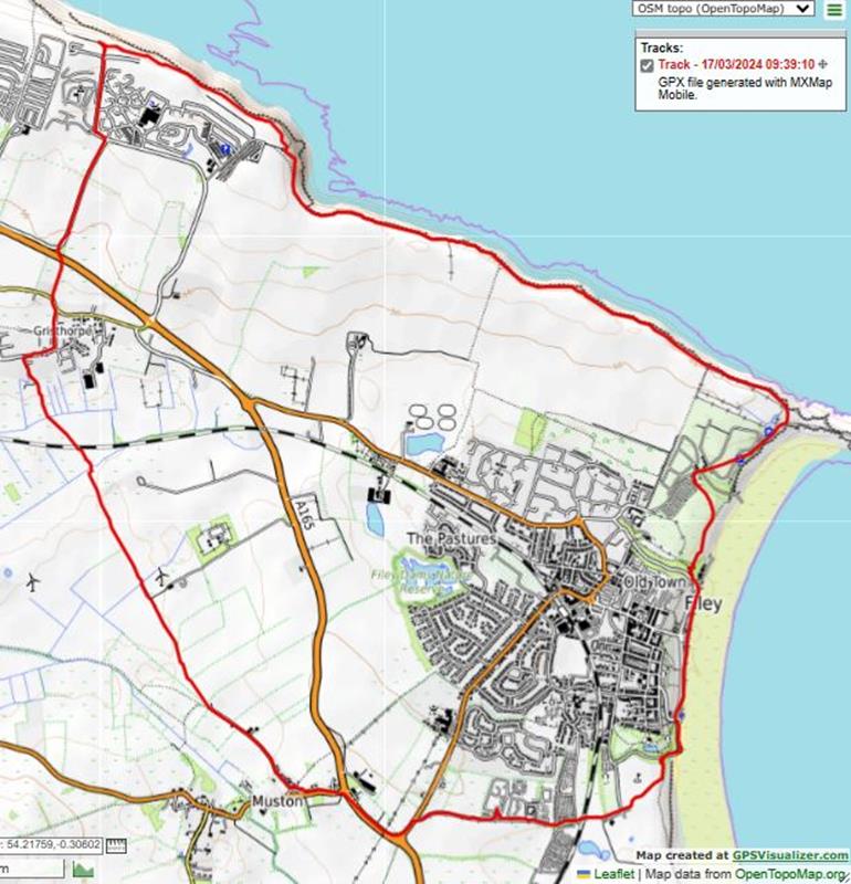
March 17, Filey Country Park, led by Ann Harper |
|
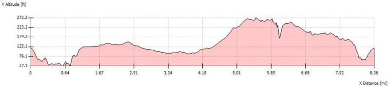
gpx file 17 walkers 8.4 miles 710ft ascent |
Back marker: Phil Trafford |
|
|
|
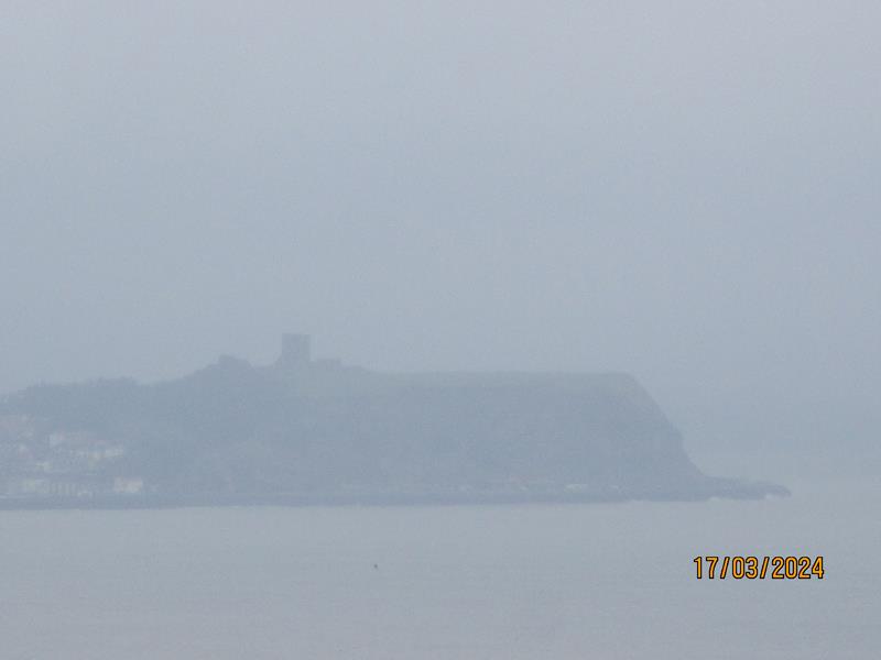
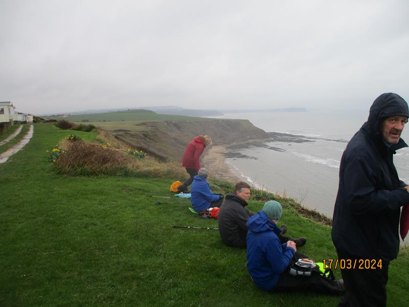
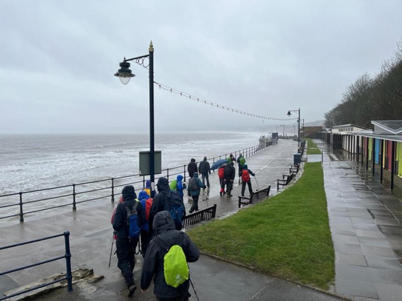
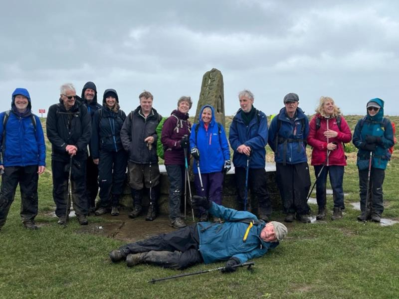
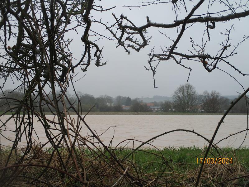
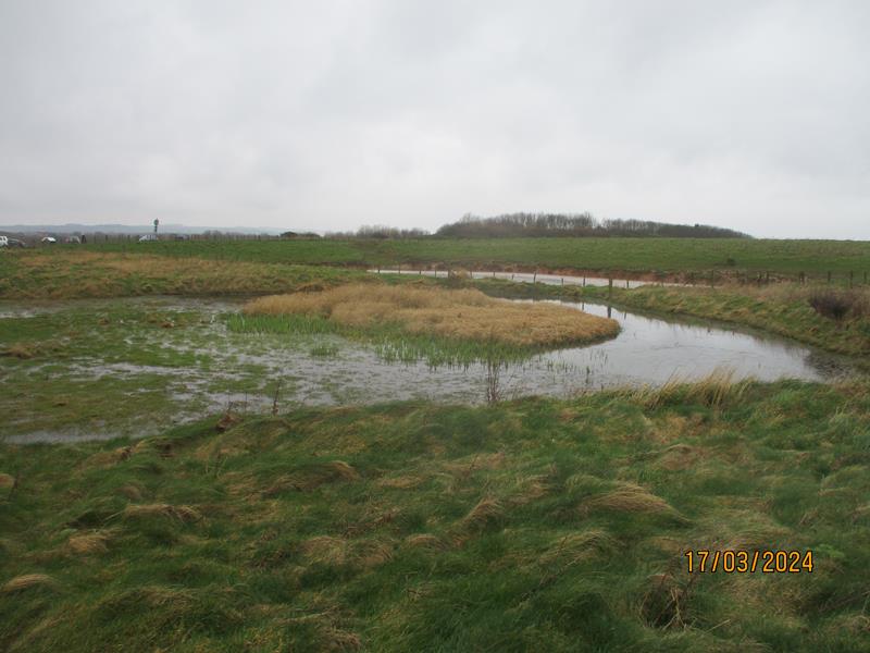
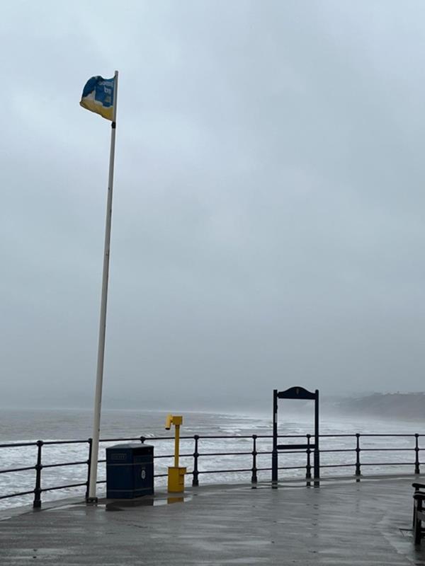
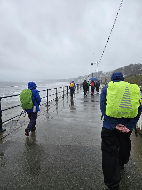
Ann's first time at planning and leading a group walk was made more difficult by the atrocious weather. Nobody complained when she announced her decision to cut 1.5 miles from the original route and all enjoyed the day despite the mud and rain. |
|
Always stay in touch with the person in front, and the person behind |
|
*COPYRIGHT of photographs vests in the photographer identified in the report. |
|
|
|
Map created on gpsvisualizer.com using Topo map(4Umaps.eu) |
|
|
| Pics below by Phil Trafford |
 |
|
|
|
|
|
|
 |
| Pics below by Norman Barclay |
|
|
|
|
 |
 |
| Pic below by Sue Friend |
 |
|
|
|
|
|
|