|
Thursday May 30, Cober Hill, led by Angela Simpson & Ray Johnson |
|
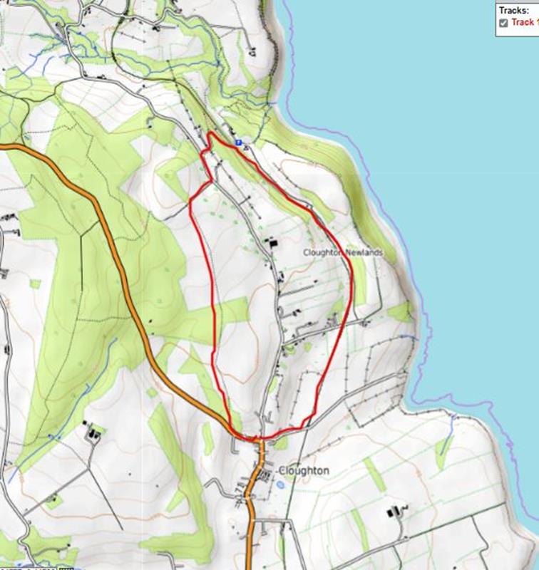
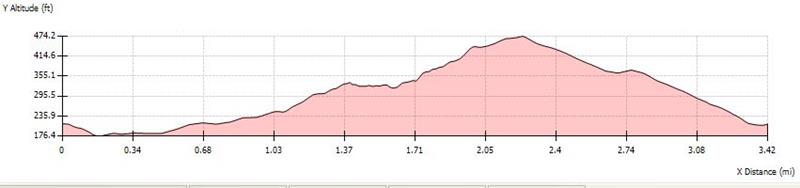
gpx file 3 walkers 3.4 miles 348ft ascent |
| Mapping Data Supplied By; Angela Simpson |
|
It rained all day on the first of the summer evening walks programme, but, fortunately stopped as the ramble was about to start. In view of the day's deluge, Angela and Ray decided that the coastal path would be dangerous, so changed the route to go along the cinder track as far as the Hayburn Wyke Inn instead of the intended Cleveland Way route. |
|
|
|
Always stay in touch with the person in front, and the person behind |
|
Map created on gpsvisualizer.com using Topo map(4Umaps.eu) |
|
*COPYRIGHT of photographs vests in the photographer identified in the report. |
|
|
|
|
|
|
|
|
| |
|
|
|
|
|
|