|
Sunday August 17, East Rosedale led by Paul Hutchinson |
|
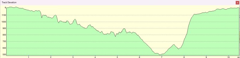
gpx file 15 walkers 10.5 miles 1556ft ft ascent |
| Mapping data supplied by Catherine Ferris |
| Photographs submitted by Gary Malcolm, Helen Ventress, Belinda Barclay and Norman Barclay. |
| Back markers: Norman Barclay |
|
Always stay in touch with the person in front, and the person behind |
|
|
 |
|
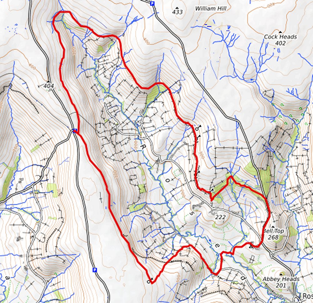
Map created on gpsvisualizer.com using Topo map(4Umaps.eu) |
|
|
|
*COPYRIGHT of photographs vests in the photographer identified in the report. |
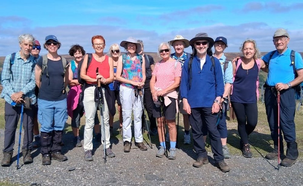
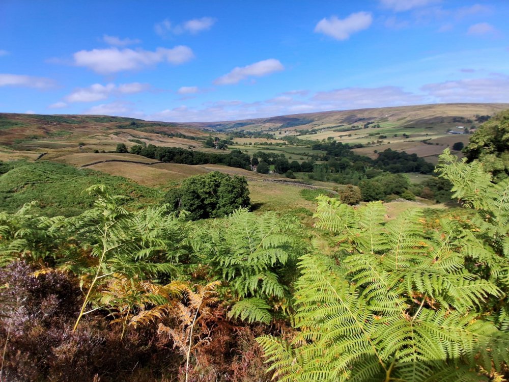
| Pics below by Helen Ventress |
 |
 |
 |
 |
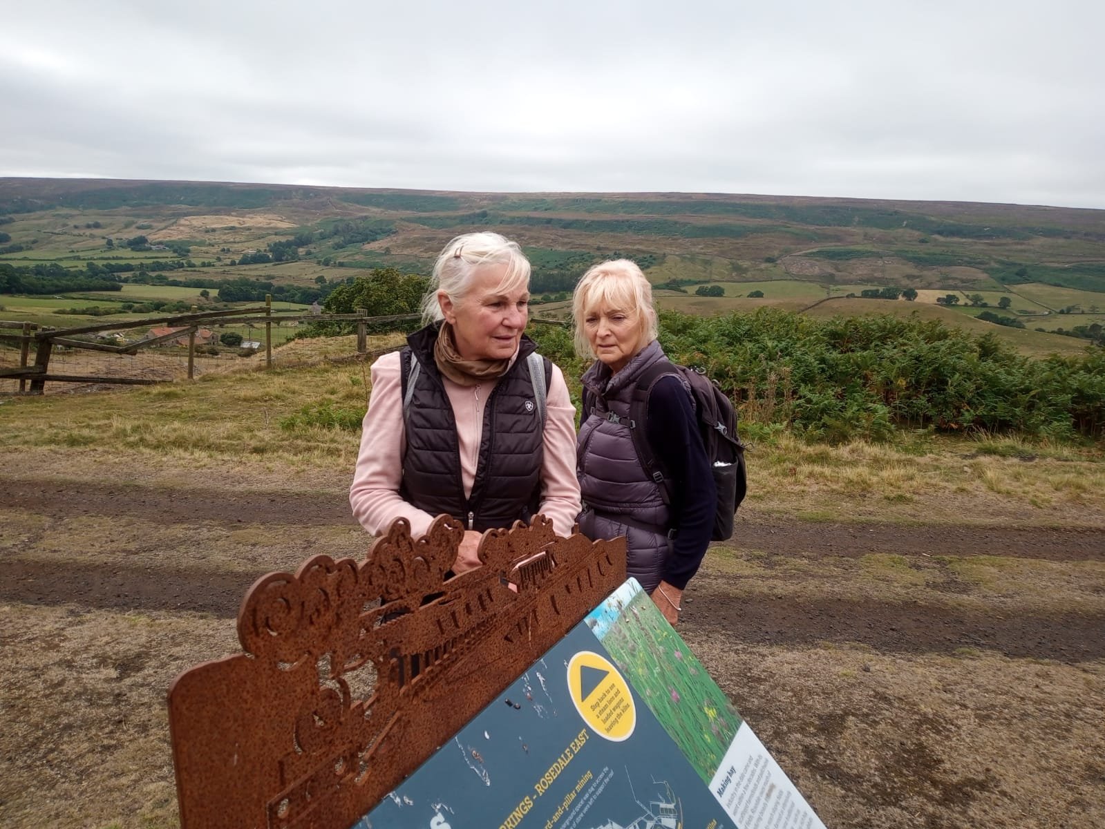
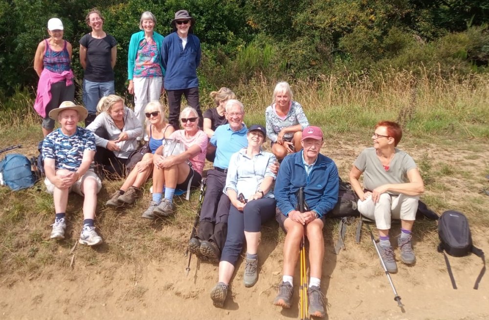
| Pics below by Gary Malcolm |
 |
 |
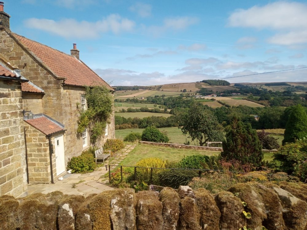 |
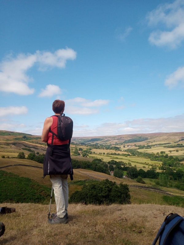 |
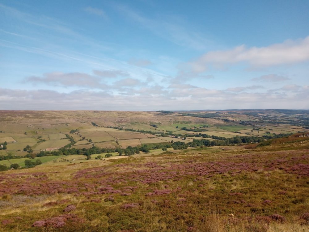 |
|
|
|
|
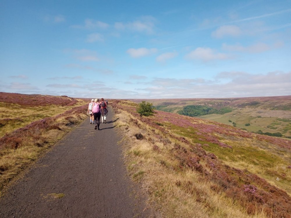 |
| Pics below by Belinda Barclay |
 |
 |
 |
 |
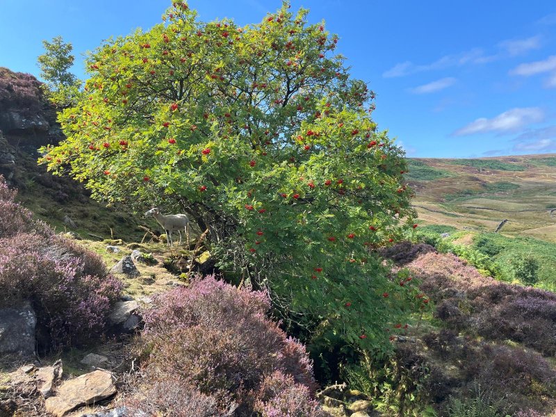
| Pic below by Norman Barclay |
 |
|
Join us on a 11 mile circular walk. The walk will be divided into two sections, the first a 5 mile walk the second after lunch offers a further 6 mile walk. First walk is along the railway track into East Rosedale. Easy walking followed by a steep drop to Daleside Cafe ( brief stop ) with a steep climb back to the car park. Meal at the Lion Inn: I need firm confirmations a week before to give numbers to the Inn. Others will need to bring a packed lunch.
Second walk will be to East Rosedale then to Thorgill with a steep
climb to Sherriff’s Pit then an easy walk back to the car park. STOP PRESS Lack of interest in the Lion Inn meal proposal has forced a change of plan. The walk route will not include a short walk back to the cars at lunchtime, but will be a continuous 10 mile ramble along the disused railway track to Thorgill, then back to the car park.
|
|
|