|
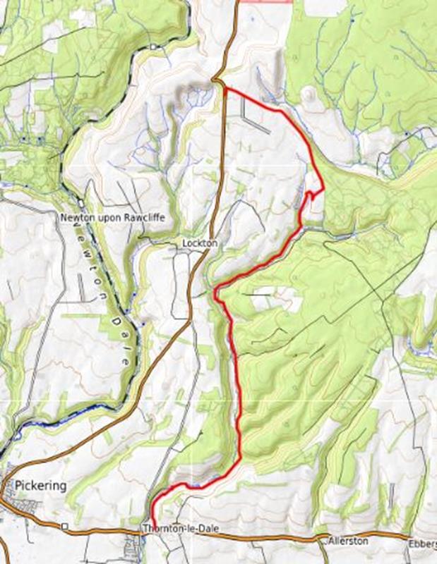
Saturday July 19 Linear Walk from Hole of Horcum to Thornton-le-Dale led by Cathryn Ferris |
|
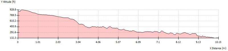
gpx file 6 walkers 10.2 miles 728ft ascent 1476ft descent |
| Mapping Data Supplied By; Cathryn Ferris |
| Photographs submitted by; Trevor Ford |
|
|
|
Always stay in touch with the person in front, and the person behind |
|
Map created on gpsvisualizer.com using Topo map(4Umaps.eu) |
 |
|
*COPYRIGHT of photographs vests in the photographer identified in the report. |
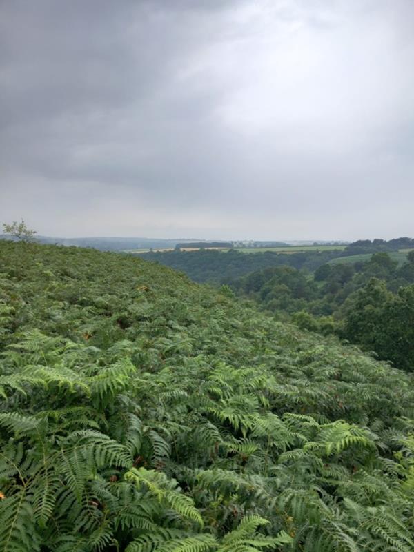
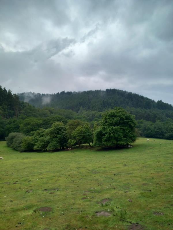
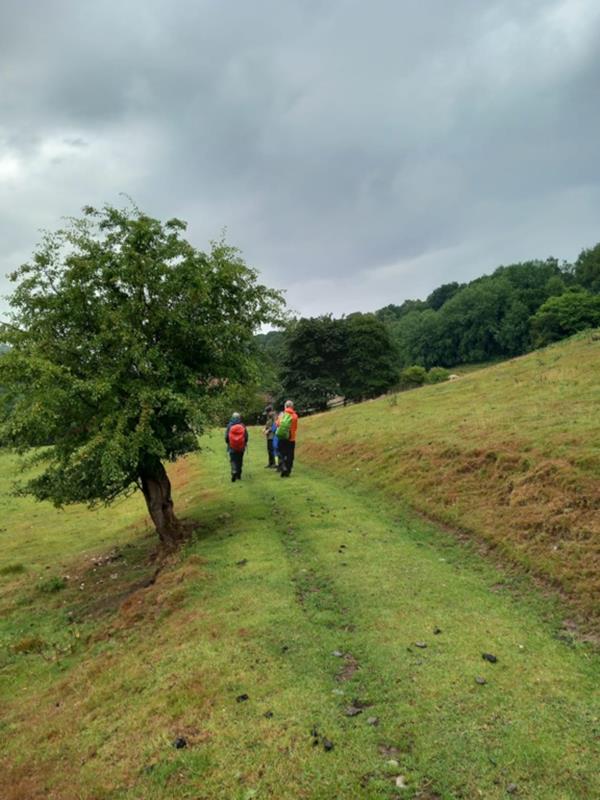
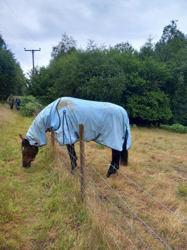
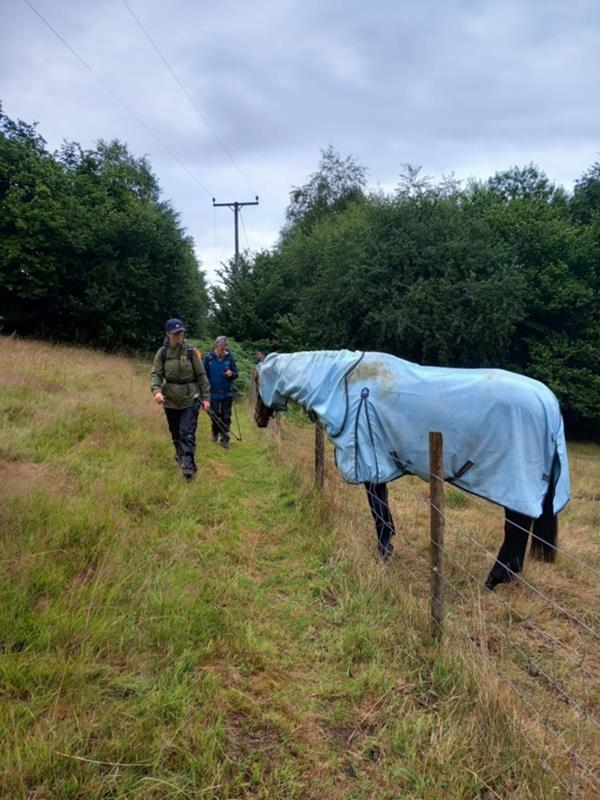
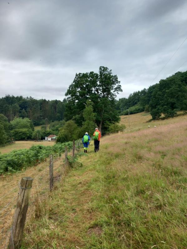
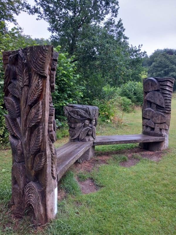
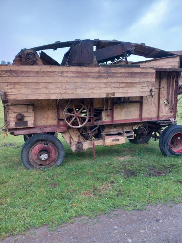
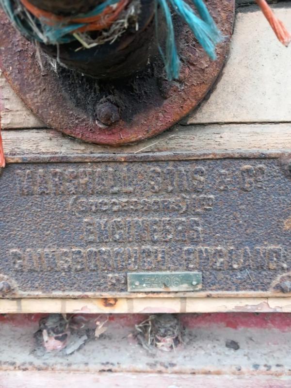
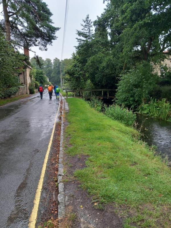
| Pics below by Trevor Ford |
 |
 |
 |
 |
 |
 |
 |
 |
 |
 |
 |
 |
 |
 |
 |
 |
 |
|
|
|
|