|
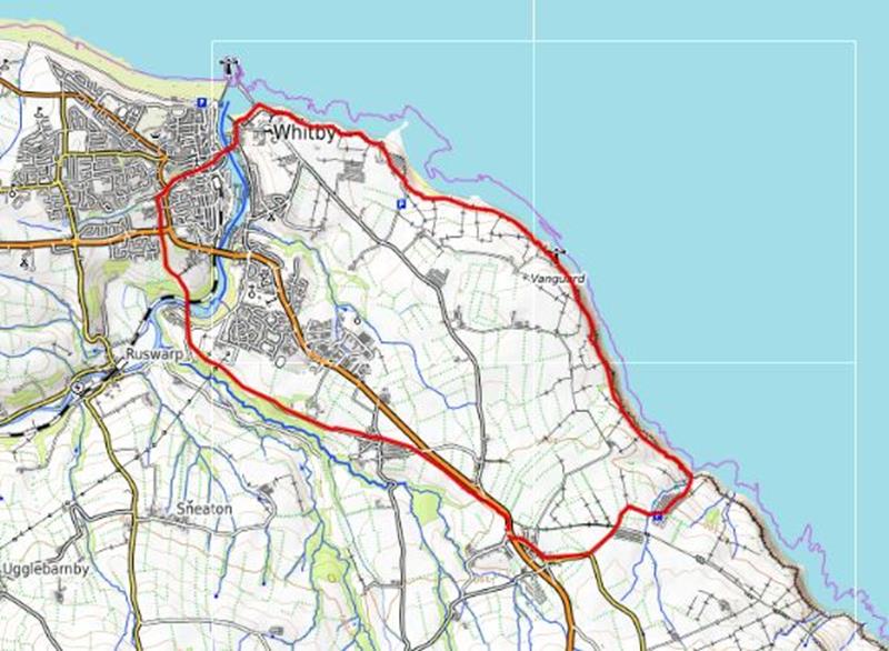
Sunday October 26, High Hawsker, led by Fay Humphries |
|
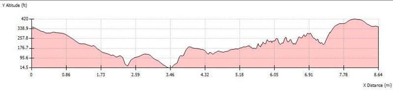
gpx file 18 walkers 8.6 miles 1037ft ascent |
| Mapping Data Supplied By; Fay Humphries |
| Photographs submitted by; Fay Humphries, Mark Roberts and David Munslow |
| Back markers: Steph Wattam |
|
Always stay in touch with the person in front, and the person behind |
|
|
|
|
|
Map created on gpsvisualizer.com using Topo map(4Umaps.eu) |
|
|
|
*COPYRIGHT of photographs vests in the photographer identified in the report. |
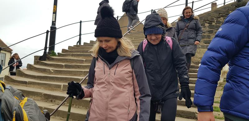
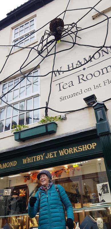
| Pics below by Fay Humphries |
 |
 |
 |
 |
 |
 |
| Pics below by Mark Roberts |
 |
 |
 |
 |
 |
 |
 |
 |
 |
 |
| Pics below by David Munslow |
 |
 |
 |
 |
 |
 |
|
|
|
|