|
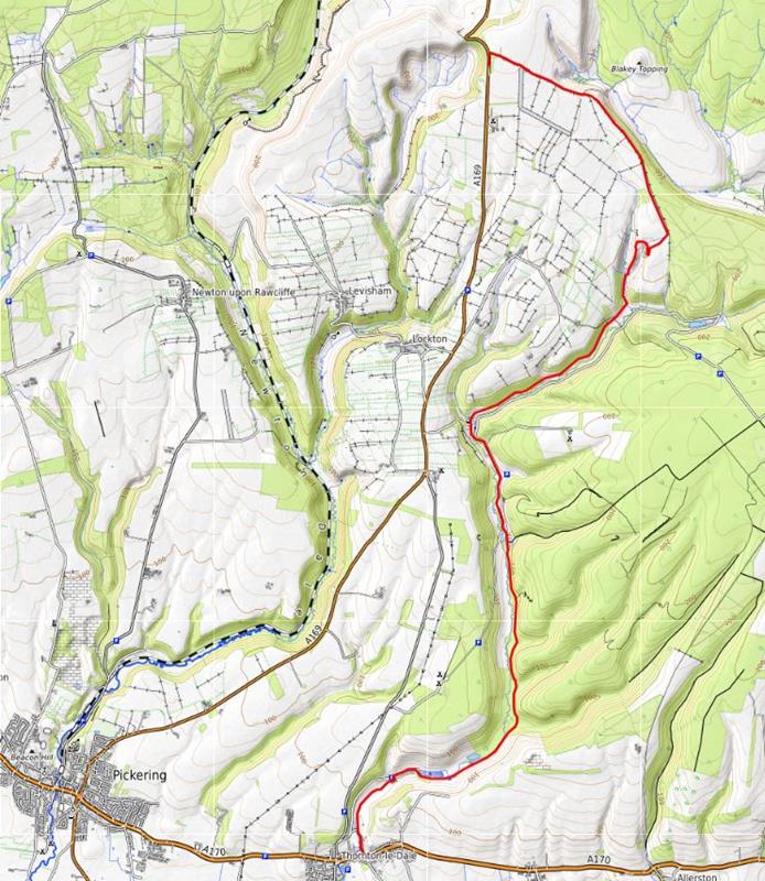
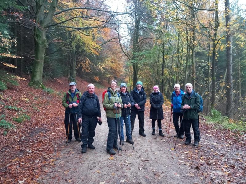
Saturday November 7th , Hole of Horcum toThornton le Dale , led by Cathryn Ferris |
|
gpx file 8 walkers 10.2 miles 273ft ascent 971ft descent - a rare occasion when there's more down than up |
|
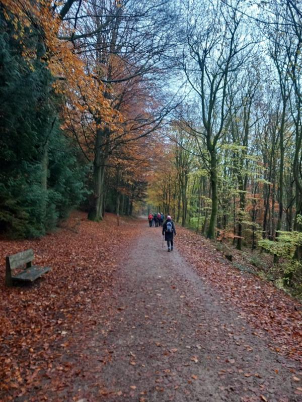
A linear ramble. The party met at Thornton le Dale and caught the bus to the Hole of Horcum to start the walk |
| Mapping Data Supplied By; Cathryn Ferris |
| Photographs submitted by; Trevor Ford |
| Back marker: Trevor Ford |
|
Always stay in touch with the person in front, and the person behind |
|
|
|
|
|
Map created on gpsvisualizer.com using Topo map(4Umaps.eu) |
|
|
|
*COPYRIGHT of photographs vests in the photographer identified in the report. |
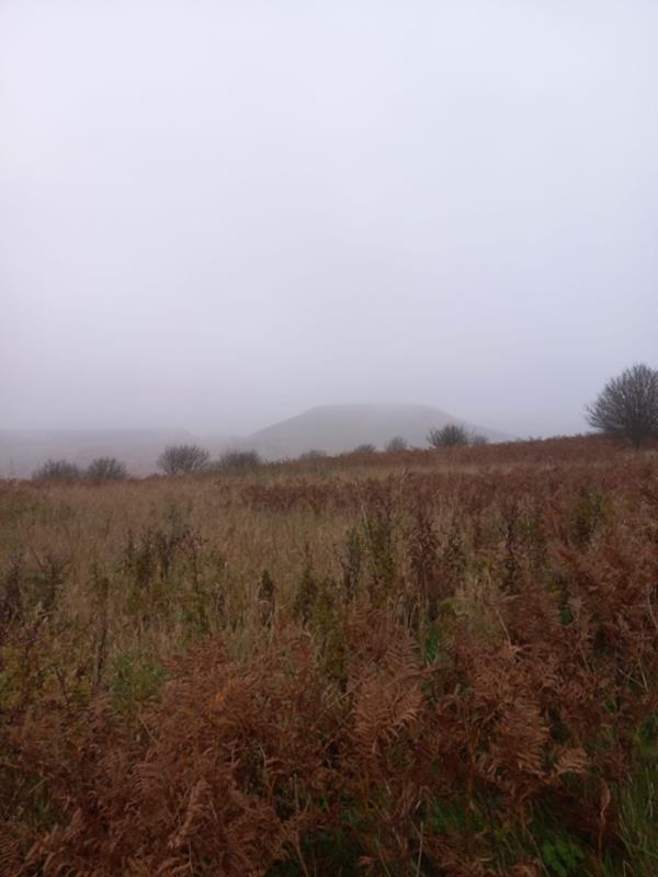
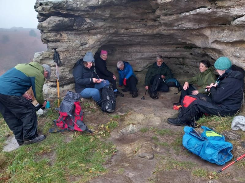
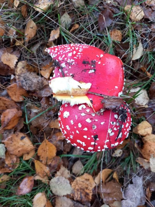
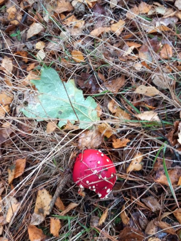
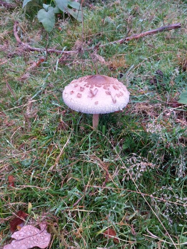
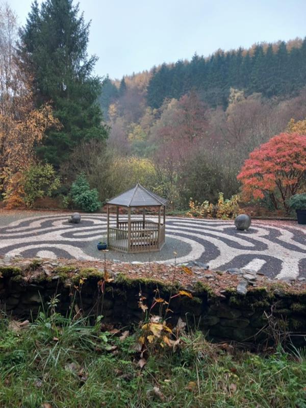
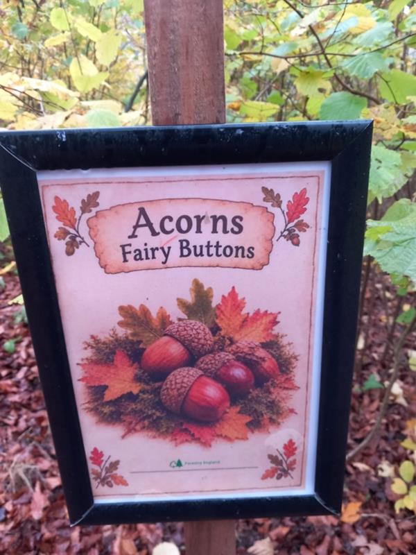
| Pics below by Trevor Ford |
 |
 |
 |
 |
 |
 |
 |
 |
 |
 |
 |
 |
 |
 |
 |
|
|
|
|