|
Sunday June 21st, Hawsker, led by David Munslow |
|
gpx file 9 walkers 10 miles 1219 ft ascent |
| Mapping data supplied by: David Munslow |
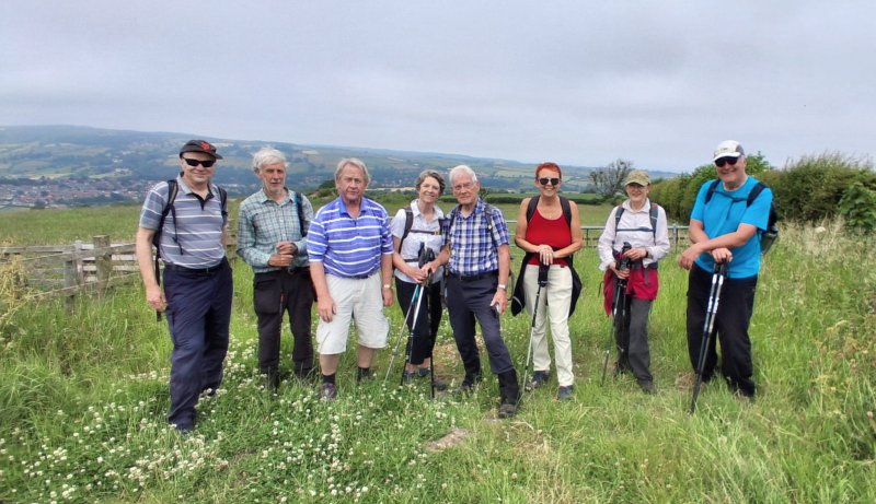
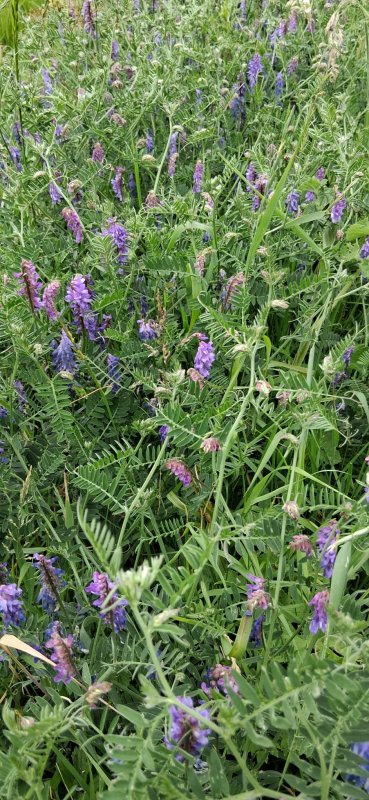
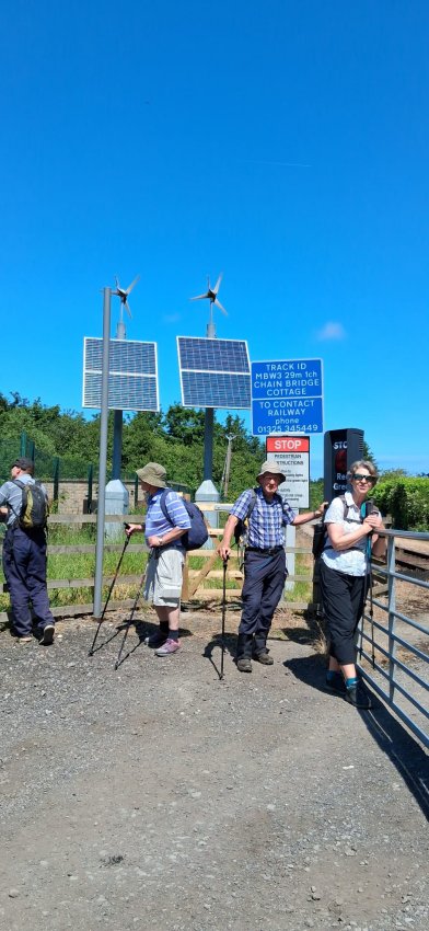
| Photographs submitted by: Helen Ventress |
| Back marker: Sally Webmark-Taylor |
|
Always stay in touch with the person in front, and the person behind |
|
|
|
|
|
Map created on gpsvisualizer.com using Topo map(4Umaps.eu) |
|
Pics below by Helen Ventress |
|
*COPYRIGHT of photographs vests in the photographer identified in the report. |
 |
 |
 |
 |
 |
|
Park and meet in the parking area off Mill lane, adjacent to the A171 at Hawsker. Join us on an open countryside walk offering scenic views. The walk starts at Low Hawsker taking a circular route via way of Ugglebarnby, the Esk valley and Stainacre.
Sorry no dogs due to wildlife and livestock. Assistance dogs
welcome, please contact walk leader for more information on
suitability. The walk is along defined paths and track which pending conditions, may by wet, boggy, slippy and muddy. There are also a couple of sections of short road walking and road crossings. Bring a pack lunch and plenty to drink.
|
|
|


